Export Processing Zone · China

Tang County Economic Development Zone Active
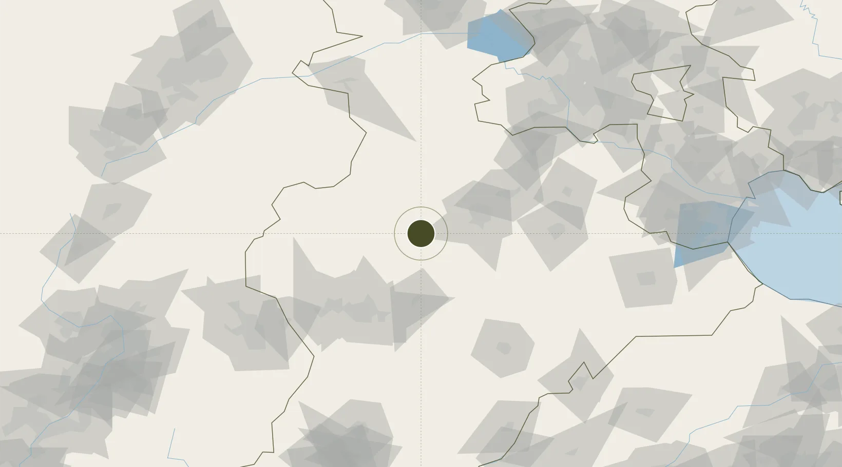
38.6912°, 114.9951°
437 ha
Zone area
247.7 km
Nearest port
52.5 km
Nearest airport

Gateway access

Nearest neighbours — logibook spatial index (haversine) over the source coordinates

Zone profile

Zone type
Export Processing Zone
Open Zone Map
Region
Hebei
Open Zone Map
Status
Active
Open Zone Map
Management
Public
Open Zone Map
Operator
Tang County Economic Development Zone Management Committee
Open Zone Map
Legal framework
Unavailable
Open Zone Map

Location

Location of ozm-1143
Natural Earth 10m (public domain) · Hebei · ozm-1143 · 38.69, 115.00GoogleOSMYandex

Nearby Logistics Neighbours

Ports
  1. 1Tianjin Xin Gang248 km
  2. 2Tangshan (Jingtang)352 km
  3. 3Qinhuangdao421 km
  4. 4Longkou Gang477 km
  5. 5Penglai519 km
Nearest neighbours — logibook spatial index (haversine) over the source coordinates
Airports
  1. 1Shijiazhuang Zhengding International Airport53 km
  2. 2Beijing Nanjiao Airport148 km
  3. 3Beijing Daxing International Airport152 km
  4. 4Liangxiangzhen Air Base154 km
  5. 5Jiugucheng Air Base166 km
Nearest neighbours — logibook spatial index (haversine) over the source coordinates
Cities
  1. 1Baoding47 km
  2. 2Shijiazhuang85 km
  3. 3Xinji90 km
  4. 4Xiangyang130 km
  5. 5Hebei135 km
Nearest neighbours — logibook spatial index (haversine) over the source coordinates
Trade Zones
  1. 1Dingzhou Economic Development Zone17 km
  2. 2Wangdu Economic Development Zone18 km
  3. 3Anguo Modern Chinese Medicine Industrial Park39 km
  4. 4Baoding Economic Development Zone44 km
  5. 5Gaoyang Economic Development Zone44 km
Nearest neighbours — logibook spatial index (haversine) over the source coordinates
DatabookThe Record of Consolidated Knowledge
China beyond logistics?
Browse databook

All Sources

Trade ZonesOpen Zone Map
CC BY
Portsthe NGA World Port Index
Public domain (US gov)
AirportsOurAirports
Public domain
LocationsUN/LOCODE
UN/LOCODE — free
← China trade zones