Export Processing Zone · China
Pucheng High-tech Industrial Development Zone Active
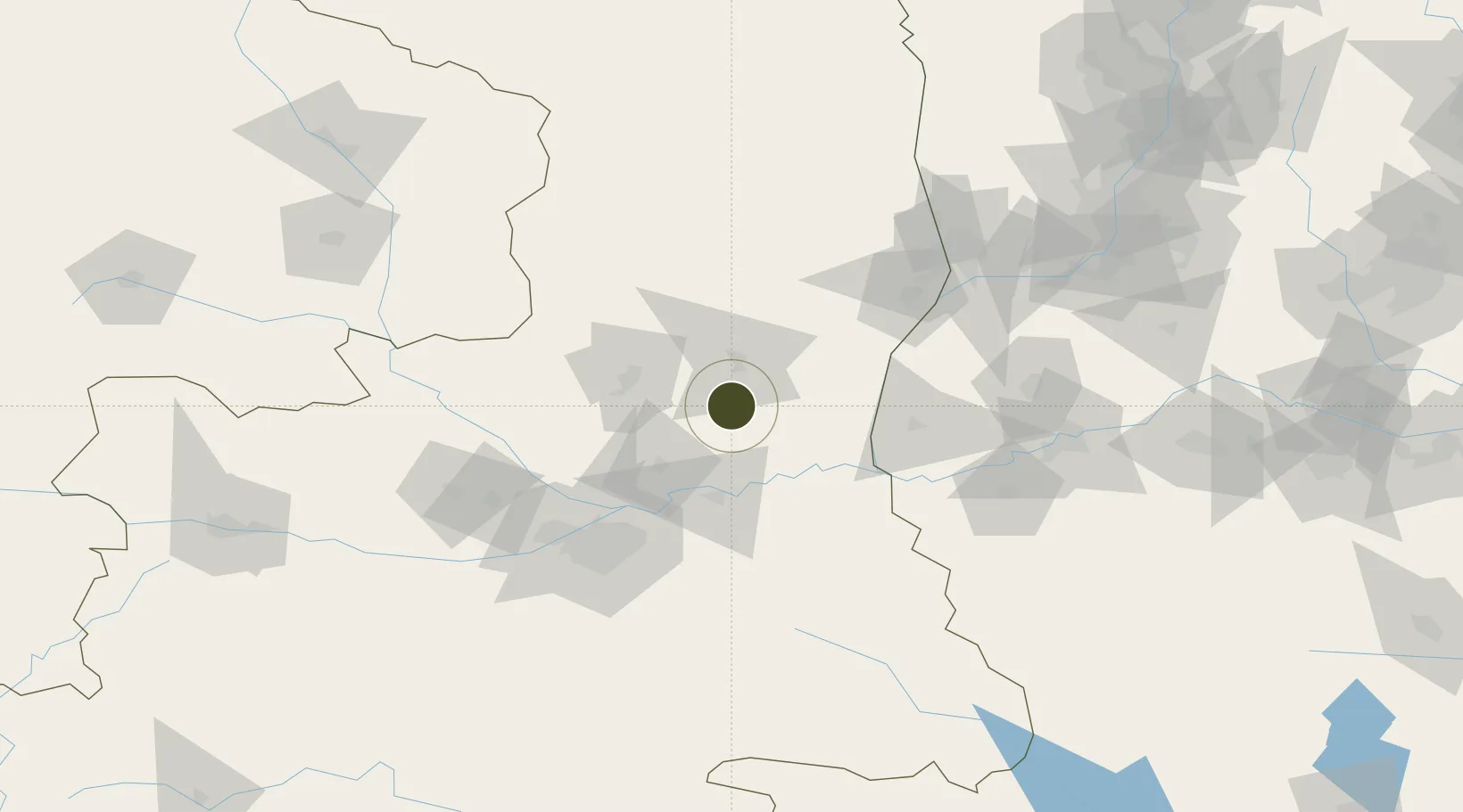
34.9480°, 109.5712°
390 ha
Zone area
655.3 km
Nearest port
45.4 km
Nearest airport
Gateway access
Zone profile
Zone type
Export Processing Zone
Region
Shaanxi
Status
Active
Management
Public
Operator
Working Committee of Pucheng High-tech Industrial Development Zone
Legal framework
Reply of the People's Government of Shaanxi Province on the approval of the construction of Pucheng High-tech Industrial Development Zone
Location
Nearby Logistics Neighbours
Ports
- 1Hankow655 km
- 2Tianjin Xin Gang859 km
- 3Lanshan892 km
- 4Lianyungang902 km
- 5Nanjing908 km
Airports
- 1Yanliang Air Base45 km
- 2Xi'an Xiguan Airport76 km
- 3Xi'an Xianyang International Airport93 km
- 4Xi'an Air Base125 km
- 5Yuncheng Yanhu International Airport135 km
DatabookThe Record of Consolidated Knowledge
China beyond logistics?