Export Processing Zone · China

Tongchuan Economic Development Zone Active
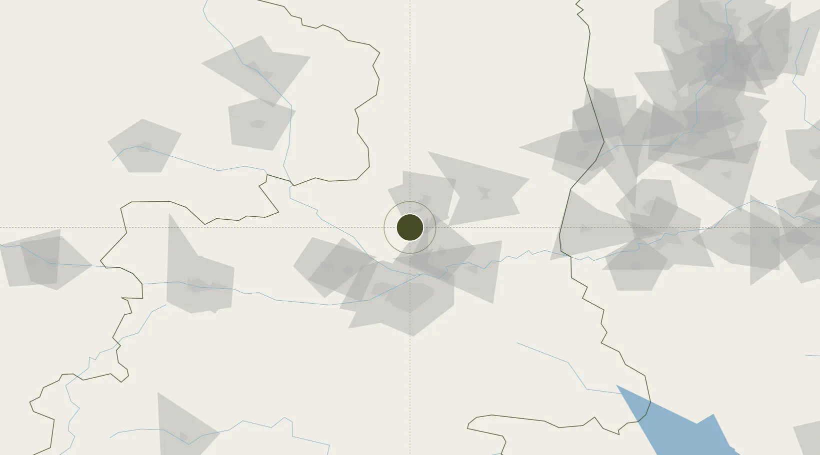
34.8668°, 108.9618°
876 ha
Zone area
688.7 km
Nearest port
35.8 km
Nearest airport

Gateway access

Nearest neighbours — logibook spatial index (haversine) over the source coordinates

Zone profile

Zone type
Export Processing Zone
Open Zone Map
Region
Shaanxi
Open Zone Map
Status
Active
Open Zone Map
Management
Public
Open Zone Map
Operator
Management committee
Open Zone Map
Legal framework
Established in July 1992, approved by the provincial government in November 1993 and enjoy all preferential policies of the provincial economic development zone
Open Zone Map

Location

Location of ozm-1234
Natural Earth 10m (public domain) · Shaanxi · ozm-1234 · 34.87, 108.96GoogleOSMYandex

Nearby Logistics Neighbours

Ports
  1. 1Hankow689 km
  2. 2Tianjin Xin Gang910 km
  3. 3Lanshan948 km
  4. 4Lianyungang957 km
  5. 5Nanjing959 km
Nearest neighbours — logibook spatial index (haversine) over the source coordinates
Airports
  1. 1Yanliang Air Base36 km
  2. 2Xi'an Xianyang International Airport51 km
  3. 3Xi'an Xiguan Airport56 km
  4. 4Xi'an Air Base86 km
  5. 5Wugong Air Base92 km
Nearest neighbours — logibook spatial index (haversine) over the source coordinates
Cities
  1. 1Weinan64 km
  2. 2Xian65 km
  3. 3Xingping78 km
  4. 4Baoji175 km
  5. 5Yuncheng188 km
Nearest neighbours — logibook spatial index (haversine) over the source coordinates
DatabookThe Record of Consolidated Knowledge
China beyond logistics?
Browse databook

All Sources

Trade ZonesOpen Zone Map
CC BY
Portsthe NGA World Port Index
Public domain (US gov)
AirportsOurAirports
Public domain
LocationsUN/LOCODE
UN/LOCODE — free
← China trade zones