Export Processing Zone · China

Liangping Industrial Park Active
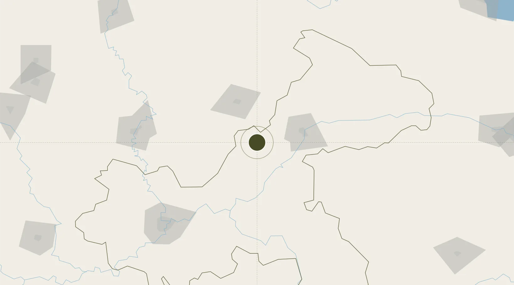
30.6597°, 107.7655°
200 ha
Zone area
623.7 km
Nearest port
53.5 km
Nearest airport

Gateway access

Nearest neighbours — logibook spatial index (haversine) over the source coordinates

Zone profile

Zone type
Export Processing Zone
Open Zone Map
Region
Chongqing
Open Zone Map
Status
Active
Open Zone Map
Management
Public
Open Zone Map
Operator
Working Committee of Liangping Industrial Park
Open Zone Map
Legal framework
13th Five-Year Plan for The Development of Characteristic Industrial Clusters in Liangping County
Open Zone Map

Location

Location of ozm-1059
Natural Earth 10m (public domain) · Chongqing · ozm-1059 · 30.66, 107.77GoogleOSMYandex

Nearby Logistics Neighbours

Ports
  1. 1Hankow624 km
  2. 2Fang-Cheng992 km
  3. 3Qinzhou996 km
  4. 4Guangzhou998 km
  5. 5Huangpu1012 km
Nearest neighbours — logibook spatial index (haversine) over the source coordinates
Airports
  1. 1Dazhou Jinya Airport54 km
  2. 2Dachuan Airport61 km
  3. 3Wanzhou Wuqiao Airport66 km
  4. 4Chongqing Xiannüshan Airport133 km
  5. 5Chongqing Jiangbei International Airport150 km
Nearest neighbours — logibook spatial index (haversine) over the source coordinates
Cities
  1. 1Fuling110 km
  2. 2Chongqing162 km
  3. 3Enshi170 km
  4. 4Suining214 km
  5. 5Badong253 km
Nearest neighbours — logibook spatial index (haversine) over the source coordinates
Trade Zones
  1. 1Zhongxian Industrial Park48 km
  2. 2Kaijiang Economic Development Zone51 km
  3. 3Dazhu Economic Development Zone51 km
  4. 4Dianjiang Industrial Park54 km
  5. 5Chongqing Yudong Economic Development Zone62 km
Nearest neighbours — logibook spatial index (haversine) over the source coordinates
DatabookThe Record of Consolidated Knowledge
China beyond logistics?
Browse databook

All Sources

Trade ZonesOpen Zone Map
CC BY
Portsthe NGA World Port Index
Public domain (US gov)
AirportsOurAirports
Public domain
LocationsUN/LOCODE
UN/LOCODE — free
← China trade zones