Free Zone · Thailand

Eastern Seaboard Industrial Estate (Rayong) Active
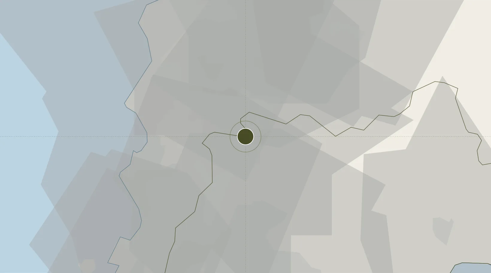
13.0164°, 101.1740°
1,071 ha
Zone area
32.4 km
Nearest port
41.7 km
Nearest airport

Gateway access

Nearest neighbours — logibook spatial index (haversine) over the source coordinates

Zone profile

Zone type
Free Zone
the World Bank SEZ database
Region
Rayong
the World Bank SEZ database
Status
Active
the World Bank SEZ database
Established
1996
the World Bank SEZ database
Management
PPP
the World Bank SEZ database
Operator
Industrial Estate Authority of Thailand and Hemaraj Land and Development Public Company Limited
the World Bank SEZ database
Regulatory authority
Industrial Estate Authority of Thailand
the World Bank SEZ database
Legal framework
Industrial Estate Authority of Thailand Act
the World Bank SEZ database

Location

Location of THA40
Natural Earth 10m (public domain) · Rayong · THA40 · 13.02, 101.17GoogleOSMYandex

Fiscal & incentives

Corporate tax
20%
the World Bank SEZ database
Tax relief
No exemption
the World Bank SEZ database
Relief duration
No exemption
the World Bank SEZ database
VAT
100% exempt from VAT and excise tax on imported raw materials and machinery
the World Bank SEZ database
Import duty (inputs)
100% exempt
the World Bank SEZ database
Import duty (capex)
100% exempt
the World Bank SEZ database
Profit repatriation
No exemption
the World Bank SEZ database
Capital gains
No exemption
the World Bank SEZ database
Withholding tax
No exemption
the World Bank SEZ database
Min. investment
None
the World Bank SEZ database
Min. export
100%
the World Bank SEZ database
Employment incentive
No exemption
the World Bank SEZ database
Developer incentive
No established framework
the World Bank SEZ database

Nearby Logistics Neighbours

Ports
  1. 1Laem Chabang32 km
  2. 2Si Racha Terminal33 km
  3. 3Siam Seaport34 km
  4. 4Map Ta Phut39 km
  5. 5Ko Si Chang Terminal42 km
Nearest neighbours — logibook spatial index (haversine) over the source coordinates
Airports
  1. 1U-Tapao–Rayong–Pattaya International Airport42 km
  2. 2Suvarnabhumi Airport87 km
  3. 3Don Mueang International Airport117 km
  4. 4Hua Hin Airport139 km
  5. 5Trat Airport149 km
Nearest neighbours — logibook spatial index (haversine) over the source coordinates
Cities
  1. 1Laem Chabang27 km
  2. 2Chonburi30 km
  3. 3Pattaya33 km
  4. 4Si Racha36 km
  5. 5Ko Sichang41 km
Nearest neighbours — logibook spatial index (haversine) over the source coordinates
Trade Zones
  1. 1G.K. Land Industrial Park2 km
  2. 2Hemaraj E. Seaboard Industrial Estate6 km
  3. 3Amata City Industrial Estate8 km
  4. 4Amata City Industrial Estate9 km
  5. 5Hemaraj Chonburi 2 Industrial Estate11 km
Nearest neighbours — logibook spatial index (haversine) over the source coordinates
DatabookThe Record of Consolidated Knowledge
Thailand beyond logistics?
Browse databook

All Sources

Trade Zonesthe World Bank SEZ database
CC BY 4.0
Portsthe NGA World Port Index
Public domain (US gov)
AirportsOurAirports
Public domain
LocationsUN/LOCODE
UN/LOCODE — free
← Thailand trade zones