Transport Functions
Rail
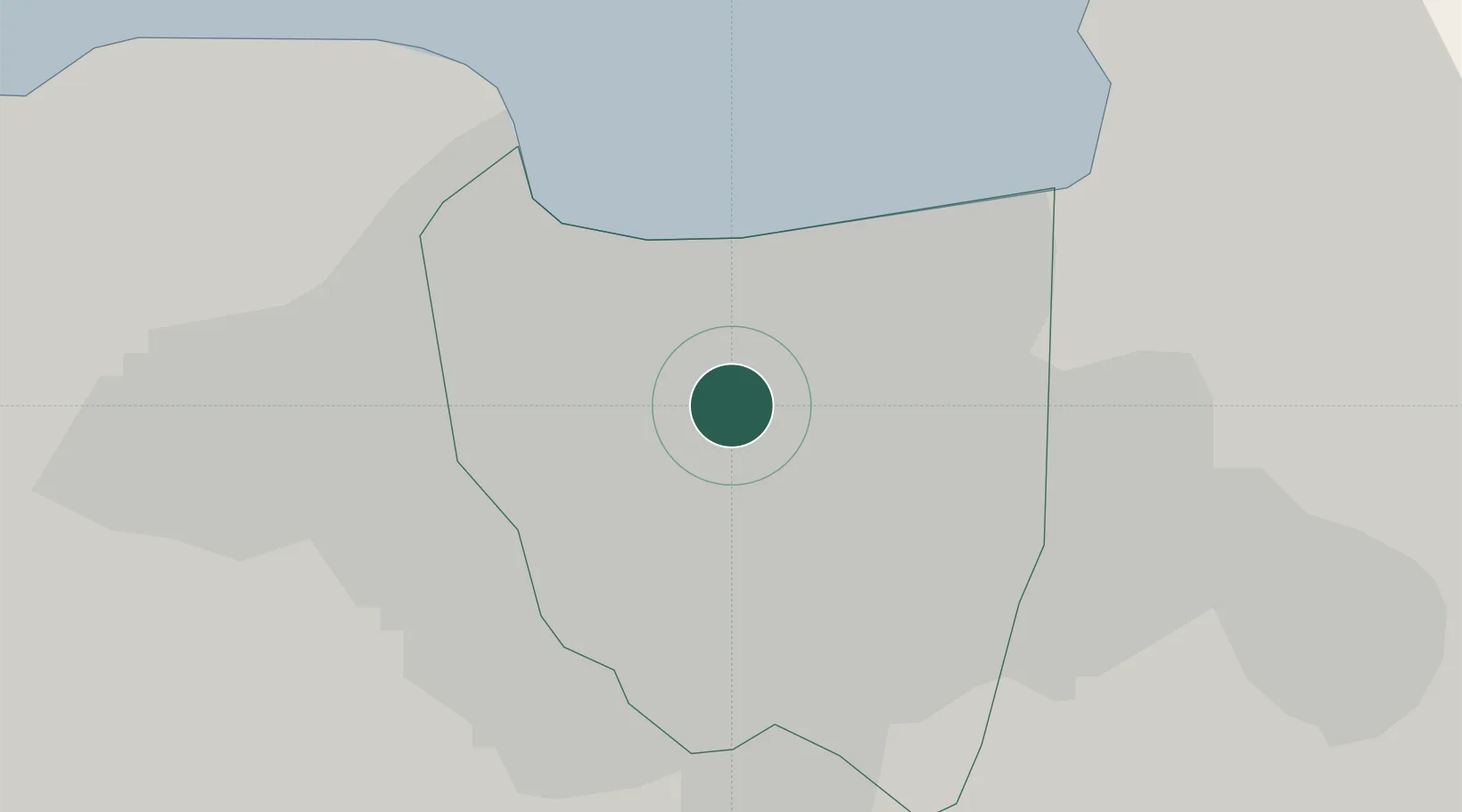
Hub Profile
Place type
Populated place
Region
Jakarta
Time zone
Asia/Jakarta
Elevation
12 m
Location
Nearby Logistics Neighbours
Cities
- 1Jakarta Pusat0 km
- 2Gambir3 km
- 3Palmerah6 km
- 4Pejagalan7 km
- 5Kembangan11 km
Ports
- 1Jakarta11 km
- 2Tanjung Sekong97 km
- 3Merak Mas Terminal97 km
- 4Banten98 km
- 5Anyer Lor102 km
Airports
Trade Zones
DatabookThe Record of Consolidated Knowledge
Indonesia beyond logistics?