Industrial Zone · Vietnam

My Xuan B1 - Conac Industrial Zone
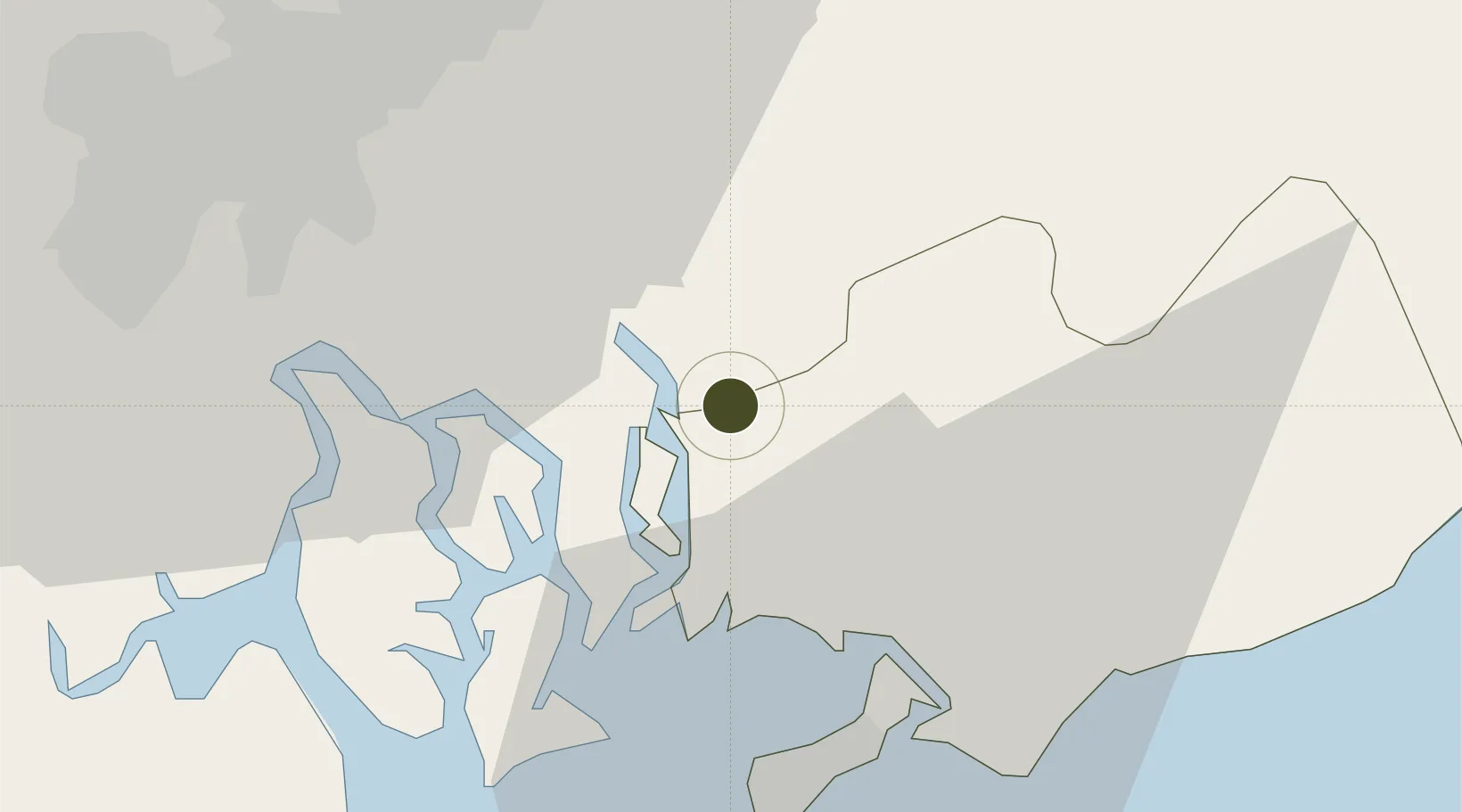
10.6402°, 107.0621°
227 ha
Zone area
7.1 km
Nearest port
14.9 km
Nearest airport

Gateway access

Nearest neighbours — logibook spatial index (haversine) over the source coordinates

Zone profile

Zone type
Industrial Zone
the World Bank SEZ database
Region
Bà Rịa - Vũng Tàu
the World Bank SEZ database
Established
1998
the World Bank SEZ database
Management
PPP
the World Bank SEZ database
Operator
IDICO-CONAC Project Company
the World Bank SEZ database
Regulatory authority
Chairmen of Provincial People's Committees
the World Bank SEZ database
Legal framework
Law on Foreign Investment in Vietnam, 1996; Decree No. 36/1997/CP on The Regulation of Industrial, Economic and Export processing zones
the World Bank SEZ database

Location

Location of VNM440
Natural Earth 10m (public domain) · Bà Rịa - Vũng Tàu · VNM440 · 10.64, 107.06GoogleOSMYandex

Fiscal & incentives

Corporate tax
20%
the World Bank SEZ database
Tax relief
100% exempt
the World Bank SEZ database
Relief duration
4 years
the World Bank SEZ database
VAT
No exemption
the World Bank SEZ database
Import duty (inputs)
0% exempt
the World Bank SEZ database
Import duty (capex)
100% exempt
the World Bank SEZ database
Profit repatriation
No exemption
the World Bank SEZ database
Capital gains
No exemption
the World Bank SEZ database
Withholding tax
No exemption
the World Bank SEZ database
Min. investment
None
the World Bank SEZ database
Min. export
0%
the World Bank SEZ database
Employment incentive
No exemption
the World Bank SEZ database
Developer incentive
No established framework
the World Bank SEZ database

Nearby Logistics Neighbours

Ports
  1. 1Phu My7 km
  2. 2Cat Lai33 km
  3. 3Vung Tau36 km
  4. 4Thanh Hoa38 km
  5. 5Thanh Ho Chi Minh40 km
Nearest neighbours — logibook spatial index (haversine) over the source coordinates
Airports
  1. 1Long Thanh International Airport (Under Construction)15 km
  2. 2Tan Son Nhat International Airport49 km
  3. 3Can Tho International Airport160 km
  4. 4Lien Khuong Airport188 km
  5. 5Con Dao Airport217 km
Nearest neighbours — logibook spatial index (haversine) over the source coordinates
Cities
  1. 1Go Dau A Terminal5 km
  2. 2Go Dau B Terminal6 km
  3. 3Saigon ITV/Phu My7 km
  4. 4Cai Mep13 km
  5. 5Vung Tau13 km
Nearest neighbours — logibook spatial index (haversine) over the source coordinates
Trade Zones
  1. 1My Xuan A2 Industrial Zone3 km
  2. 2My Xuan A Industrial Zone3 km
  3. 3Go Dau Industrial Park4 km
  4. 4Phu My I Industrial Zone9 km
  5. 5Nhon Trach Iii Industrial Park15 km
Nearest neighbours — logibook spatial index (haversine) over the source coordinates
DatabookThe Record of Consolidated Knowledge
Vietnam beyond logistics?
Browse databook

All Sources

Trade Zonesthe World Bank SEZ database
CC BY 4.0
Portsthe NGA World Port Index
Public domain (US gov)
AirportsOurAirports
Public domain
LocationsUN/LOCODE
UN/LOCODE — free
← Vietnam trade zones