UN/LOCODE hub · United States
USWBZ
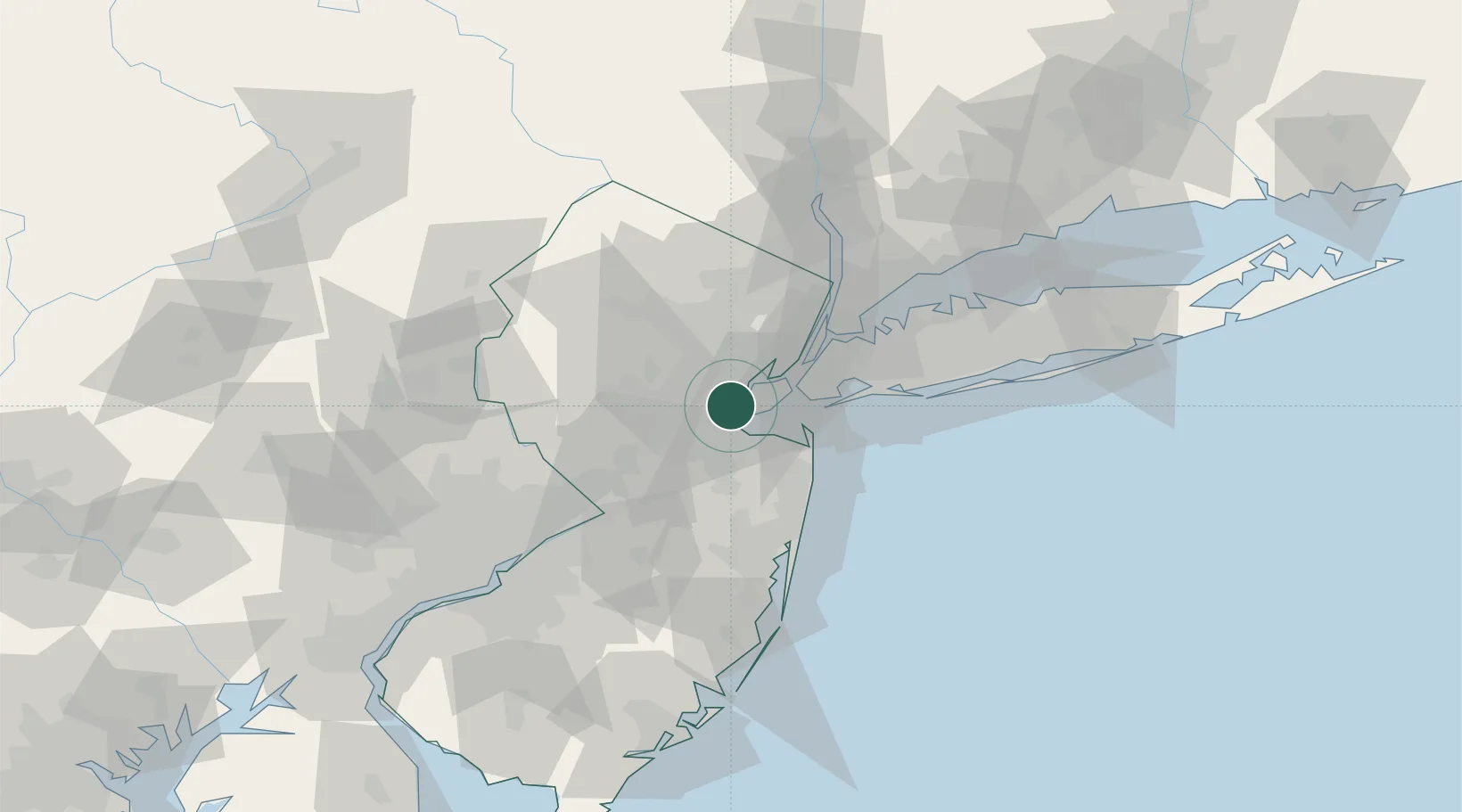
Woodbridge
40.5485°, -74.2741°
19,265
Population
2
Transport functions
Transport Functions
Rail
Road
Hub Profile
Place type
Populated place
Region
New Jersey
Population
19,265
Time zone
America/New_York
Elevation
9 m
Logistics facilities
1
Location
Nearby Logistics Neighbours
Cities
- 1Carteret0 km
- 2Perth Amboy1 km
- 3Colonia3 km
- 4Tottenville, Staten Island4 km
- 5Roselle Park12 km
Ports
- 1Sewaren2 km
- 2Port Reading4 km
- 3Chrome5 km
- 4Perth Amboy5 km
- 5Carteret6 km
Airports
Trade Zones
DatabookThe Record of Consolidated Knowledge
United States beyond logistics?