UN/LOCODE hub · United States
USQLD
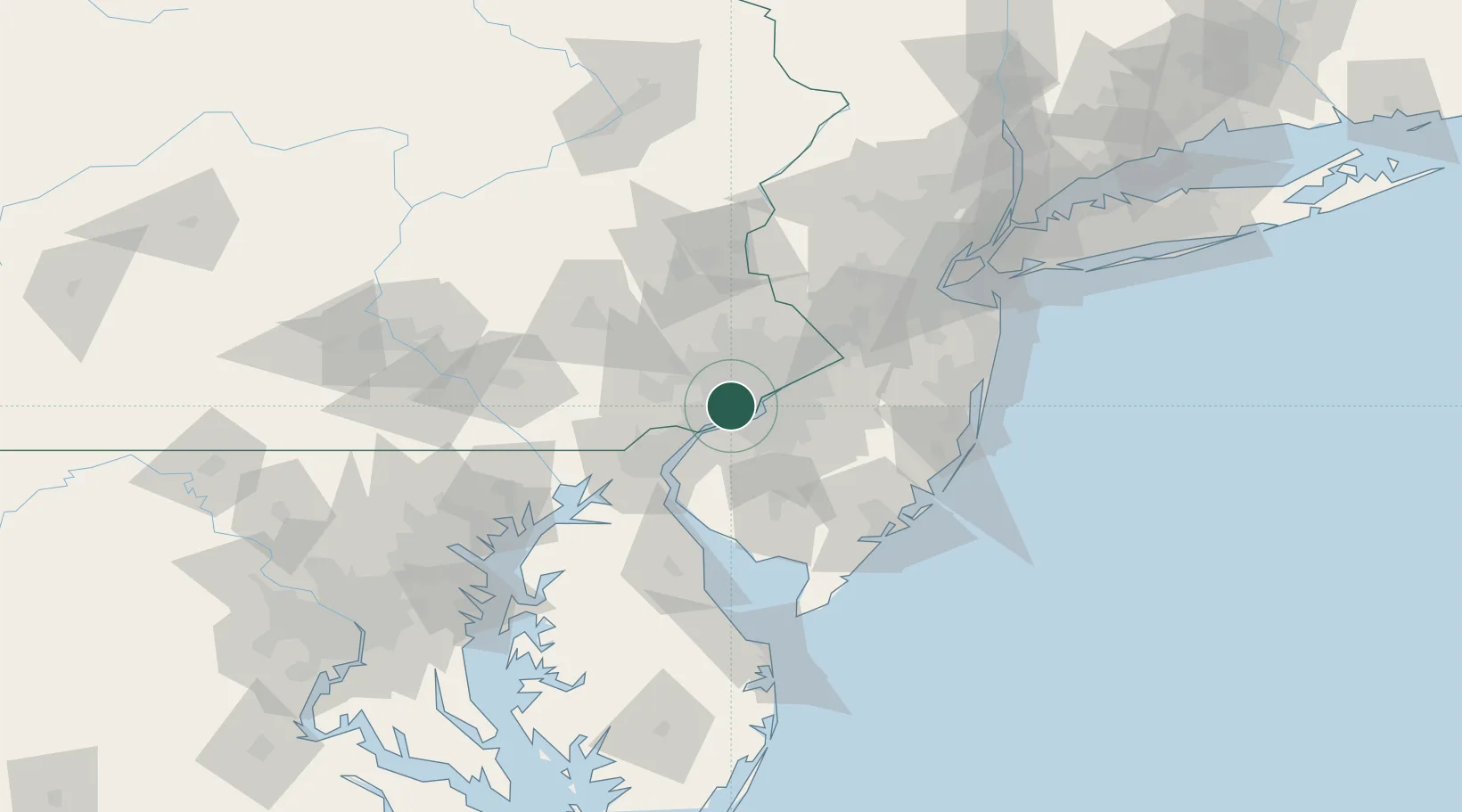
Lansdowne
39.9333°, -75.2667°
10,639
Population
3
Transport functions
Transport Functions
Rail
Road
Multimodal
Hub Profile
Place type
Populated place
Region
Pennsylvania
Population
10,639
Time zone
America/New_York
Elevation
40 m
Location
Nearby Logistics Neighbours
Cities
- 1Secane3 km
- 2Norwood6 km
- 3Prospect Park6 km
- 4Wynnewood7 km
- 5Ardmore8 km
Ports
- 1Paulsboro9 km
- 2Philadelphia12 km
- 3Camden12 km
- 4Chester12 km
- 5Gloucester12 km
Airports
Trade Zones
DatabookThe Record of Consolidated Knowledge
United States beyond logistics?