UN/LOCODE hub · Estonia
EEJOS

Narva Linnasadam

59.3833°, 28.2000°
1
Transport functions

Transport Functions

Port
UN/LOCODE

Hub Profile

Region
45
GeoNames

Location

Location of EEJOS
Natural Earth 10m (public domain) · 45 · EEJOS · 59.38, 28.20GoogleOSMYandex

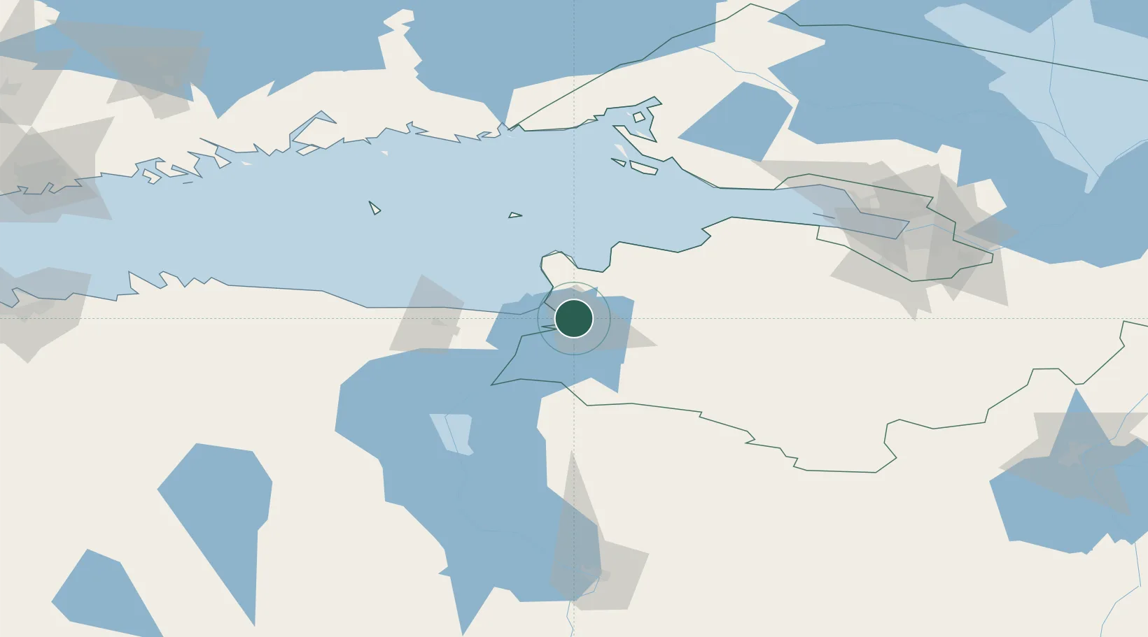
Nearby Logistics Neighbours

Cities
  1. 1Narva1 km
  2. 2Narva Kulgu Sadam4 km
  3. 3Narva-Jõesuu Sadam13 km
  4. 4Suur-Lootsi13 km
  5. 5Kingisepp24 km
Nearest neighbours — logibook spatial index (haversine) over the source coordinates
Ports
  1. 1Sillamae27 km
  2. 2Ust Luga32 km
  3. 3Kunda95 km
  4. 4Lomonosov106 km
  5. 5Kronshtadt111 km
Nearest neighbours — logibook spatial index (haversine) over the source coordinates
Airports
  1. 1Smuravyovo Air Base64 km
  2. 2Pribylovo Naval Air Base123 km
  3. 3Pulkovo Airport125 km
  4. 4Pushkin Airport125 km
  5. 5Levashovo Air Base136 km
Nearest neighbours — logibook spatial index (haversine) over the source coordinates
Trade Zones
  1. 1Port of Sillamäe27 km
  2. 2St Petersburg Technology Innovative Special Economic Zone113 km
  3. 3Port of Hamina-Kotka140 km
  4. 4Moglino Special Economic Zone - Industrial180 km
  5. 5Muuga Free Zone181 km
Nearest neighbours — logibook spatial index (haversine) over the source coordinates
DatabookThe Record of Consolidated Knowledge
Estonia beyond logistics?
Browse databook

All Sources

LocationsUN/LOCODE
UN/LOCODE — free
Portsthe NGA World Port Index
Public domain (US gov)
AirportsOurAirports
Public domain
Trade Zonesthe World Bank SEZ database
CC BY 4.0
Trade ZonesOpen Zone Map
CC BY
← Estonia locations