Transport Functions
Rail
Road
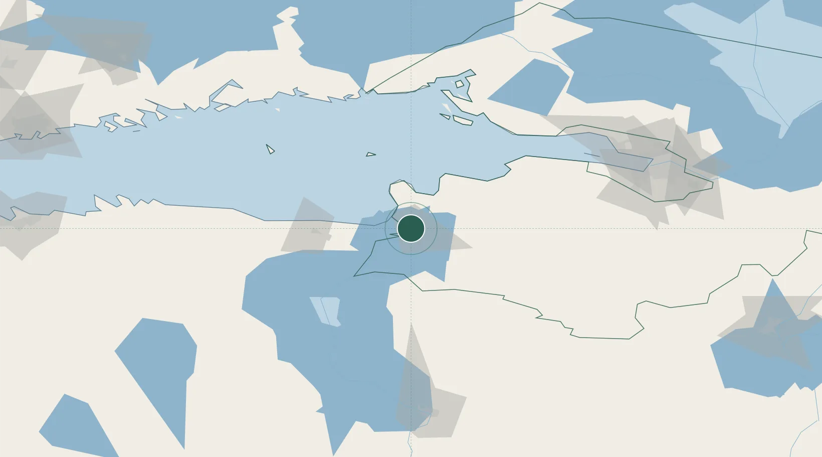
Hub Profile
Place type
Provincial seat
Region
Ida-Virumaa
Population
54,409
Time zone
Europe/Tallinn
Elevation
30 m
Location
Nearby Logistics Neighbours
Cities
- 1Narva Linnasadam1 km
- 2Narva Kulgu Sadam4 km
- 3Narva-Jõesuu Sadam12 km
- 4Suur-Lootsi12 km
- 5Vaivara25 km
Ports
- 1Sillamae26 km
- 2Ust Luga32 km
- 3Kunda94 km
- 4Lomonosov107 km
- 5Kronshtadt112 km
Airports
- 1Smuravyovo Air Base64 km
- 2Pribylovo Naval Air Base124 km
- 3Pulkovo Airport126 km
- 4Pushkin Airport126 km
- 5Levashovo Air Base137 km
Trade Zones
DatabookThe Record of Consolidated Knowledge
Estonia beyond logistics?