UN/LOCODE hub · Russia
RUULU
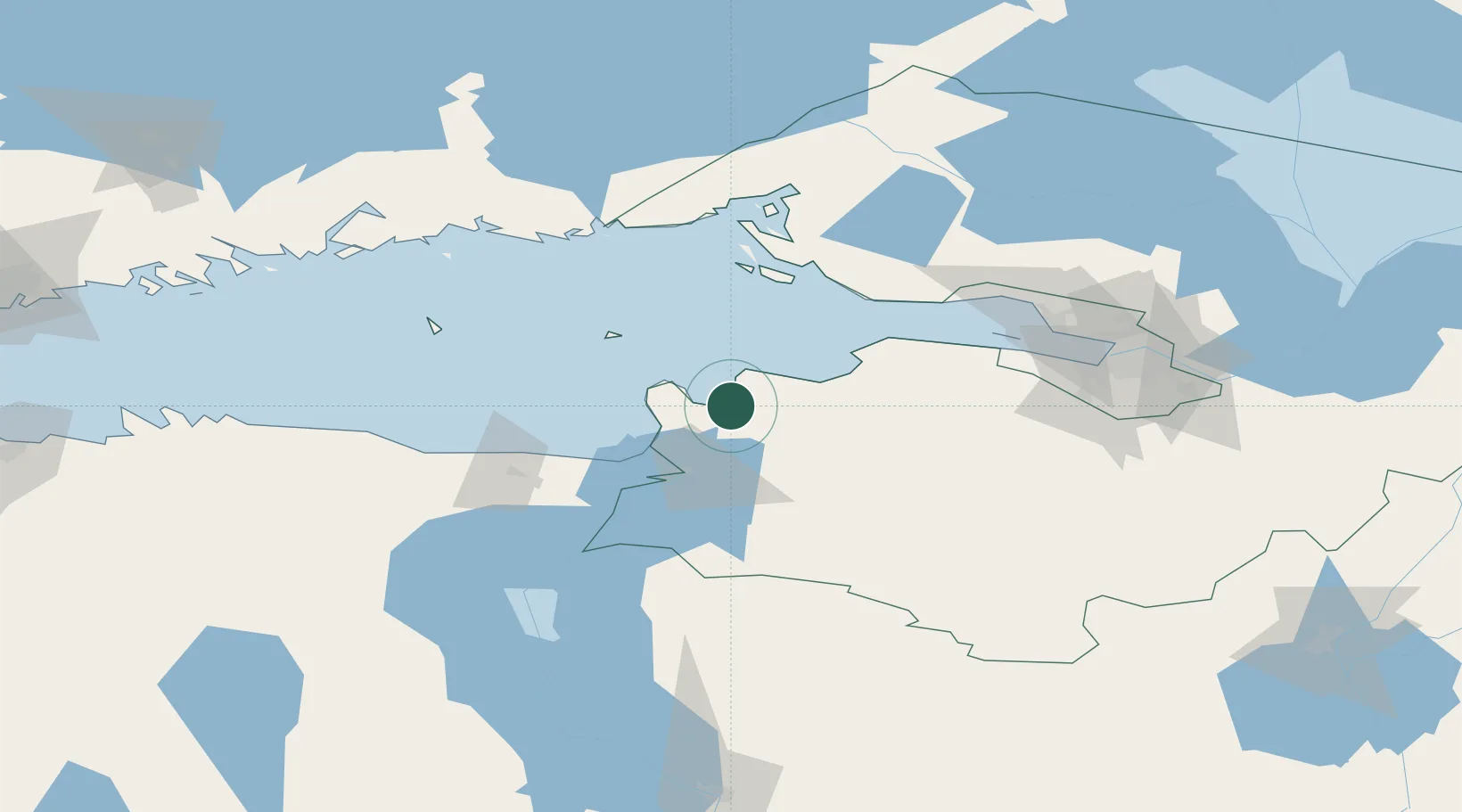
Ust'-Luga
59.6742°, 28.4058°
2,000
Population
3
Transport functions
1
Container terminals
Transport Functions
Port
Rail
Road
Hub Profile
Place type
Populated place
Region
Leningradskaya Oblast'
Population
2,000
Time zone
Europe/Moscow
Elevation
4 m
Logistics facilities
2
Container terminals
1
Location
Nearby Logistics Neighbours
Cities
- 1Narva-Jõesuu Sadam31 km
- 2Suur-Lootsi31 km
- 3Narva Linnasadam34 km
- 4Narva35 km
- 5Kingisepp36 km
Ports
- 1Sillamae47 km
- 2Primorsk78 km
- 3Lomonosov81 km
- 4Kronshtadt84 km
- 5Gavan Vysotsk105 km
Airports
- 1Pribylovo Naval Air Base89 km
- 2Smuravyovo Air Base98 km
- 3Pulkovo Airport105 km
- 4Pushkin Airport109 km
- 5Levashovo Air Base110 km
Trade Zones
DatabookThe Record of Consolidated Knowledge
Russia beyond logistics?