UN/LOCODE hub · Russia
RUNJK
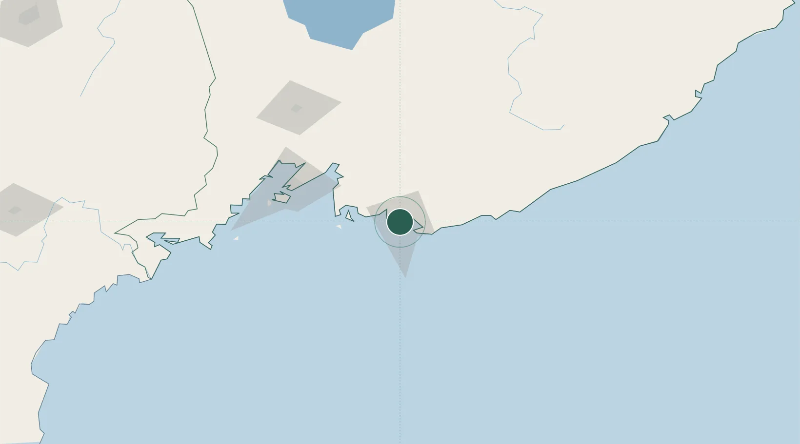
Nakhodka
42.7958°, 132.8781°
146,920
Population
1
Transport functions
1
Container terminals
Transport Functions
Port
Hub Profile
Place type
Provincial seat
Region
Primorye
Population
146,920
Time zone
Asia/Vladivostok
Elevation
1 m
Logistics facilities
1
Container terminals
1
Location
Nearby Logistics Neighbours
Cities
- 1Kozmino Port14 km
- 2Vostochnyy Port18 km
- 3Preobrazheniye84 km
- 4Vladivostok86 km
- 5Fish Port Terminal88 km
Ports
- 1Vostochnyy18 km
- 2Vladivostok88 km
- 3Slavyanka122 km
- 4Zarubino148 km
- 5Pos'yet171 km
Airports
- 1Vladivostok International Airport89 km
- 2Vozdvizhenka Air Base146 km
- 3Chuguyevka Air Base164 km
- 4Chernigovka Air Base172 km
- 5Yanji Chaoyangchuan Airport280 km
Trade Zones
DatabookThe Record of Consolidated Knowledge
Russia beyond logistics?