UN/LOCODE hub · Russia
RUVYP
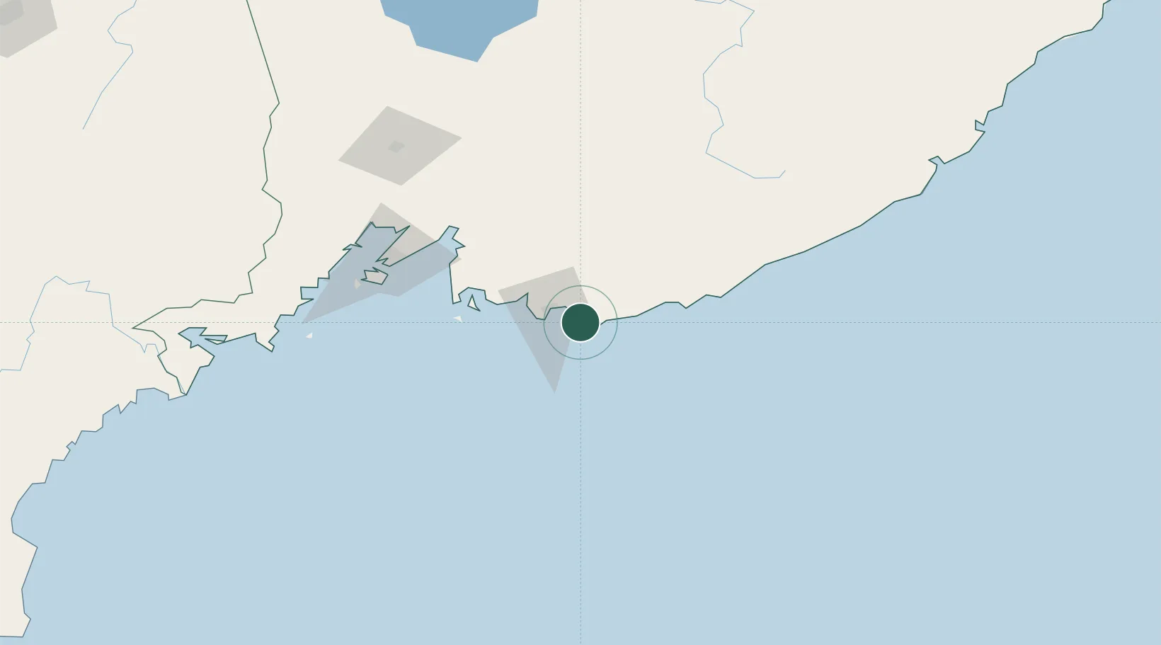
Vostochnyy Port
42.7315°, 133.0813°
2
Transport functions
1
Container terminals
Transport Functions
Port
Rail
Hub Profile
Logistics facilities
3
Container terminals
1
Location
Nearby Logistics Neighbours
Cities
- 1Kozmino Port6 km
- 2Nakhodka18 km
- 3Preobrazheniye69 km
- 4Vladivostok104 km
- 5Fish Port Terminal106 km
Ports
- 1Nakhodka18 km
- 2Vladivostok106 km
- 3Slavyanka139 km
- 4Zarubino164 km
- 5Pos'yet187 km
Airports
- 1Vladivostok International Airport106 km
- 2Vozdvizhenka Air Base161 km
- 3Chuguyevka Air Base163 km
- 4Chernigovka Air Base182 km
- 5Yanji Chaoyangchuan Airport297 km
Trade Zones
DatabookThe Record of Consolidated Knowledge
Russia beyond logistics?