Transport Functions
Port
Road
Hub Profile
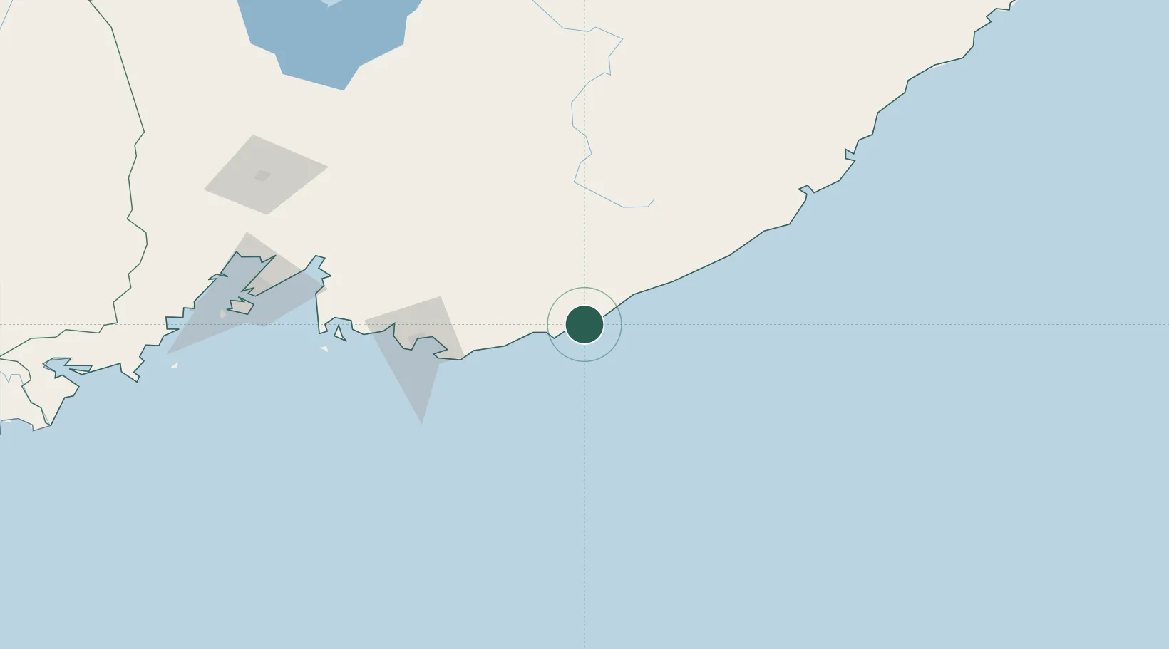
Place type
Populated place
Region
Primorye
Population
9,113
Time zone
Asia/Vladivostok
Elevation
29 m
Location
Nearby Logistics Neighbours
Cities
- 1Vostochnyy Port69 km
- 2Kozmino Port75 km
- 3Nakhodka84 km
- 4Ol'ga145 km
- 5Arsenyev162 km
Ports
- 1Vostochnyy69 km
- 2Nakhodka84 km
- 3Vladivostok165 km
- 4Slavyanka205 km
- 5Zarubino232 km
Airports
- 1Chuguyevka Air Base132 km
- 2Vladivostok International Airport153 km
- 3Chernigovka Air Base192 km
- 4Vozdvizhenka Air Base195 km
- 5Plastun Airport287 km
Trade Zones
DatabookThe Record of Consolidated Knowledge
Russia beyond logistics?