Transport Functions
Port
Road
Hub Profile
Place type
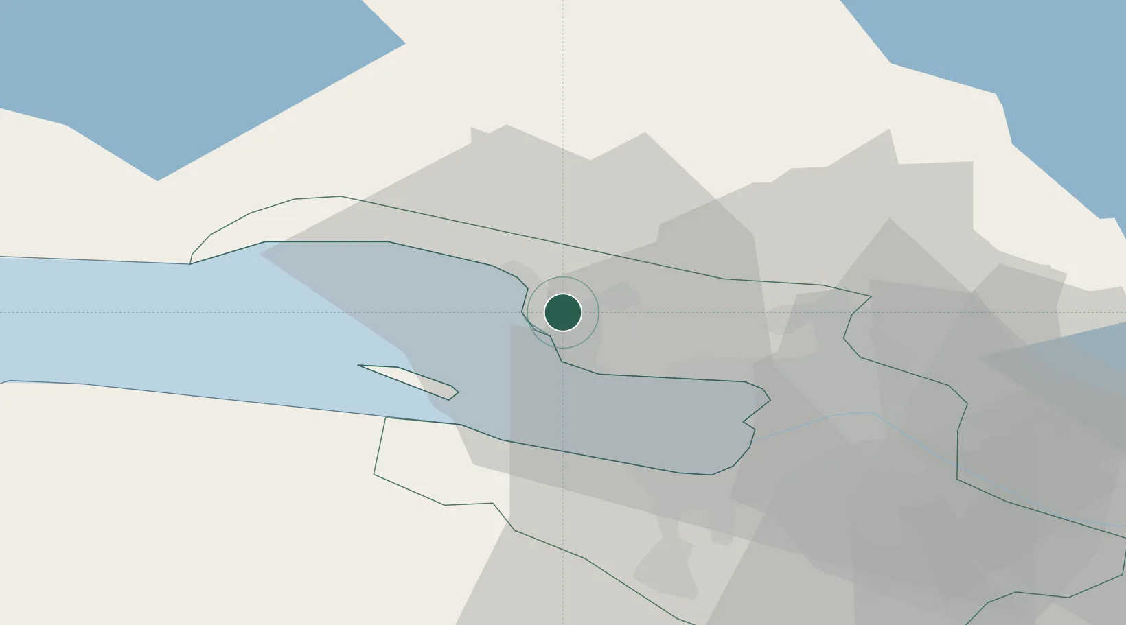
Populated place
Region
St.-Petersburg
Population
37,248
Time zone
Europe/Moscow
Elevation
8 m
Location
Nearby Logistics Neighbours
Cities
- 1Gorskaya6 km
- 2Sertolovo14 km
- 3Kronshtadt15 km
- 4Kronstadt15 km
- 5Pargolovo18 km
Ports
- 1Kronshtadt16 km
- 2Lomonosov23 km
- 3Primorsk79 km
- 4Vyborg95 km
- 5Gavan Vysotsk95 km
Airports
- 1Levashovo Air Base14 km
- 2Pulkovo Airport38 km
- 3Pushkin Airport51 km
- 4Pribylovo Naval Air Base77 km
- 5Lappeenranta Airport144 km
Trade Zones
DatabookThe Record of Consolidated Knowledge
Russia beyond logistics?