Transport Functions
Port
Rail
Road
Hub Profile
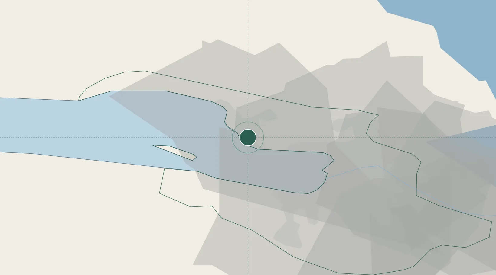
Place type
Populated place
Region
Leningradskaya Oblast'
Population
3,800
Time zone
Europe/Moscow
Elevation
7 m
Location
Nearby Logistics Neighbours
Cities
- 1Sestroretsk6 km
- 2Kronshtadt12 km
- 3Kronstadt12 km
- 4Sertolovo16 km
- 5Pargolovo17 km
Ports
- 1Kronshtadt13 km
- 2Lomonosov19 km
- 3Primorsk82 km
- 4Gavan Vysotsk100 km
- 5Vyborg100 km
Airports
- 1Levashovo Air Base13 km
- 2Pulkovo Airport32 km
- 3Pushkin Airport46 km
- 4Pribylovo Naval Air Base81 km
- 5Lappeenranta Airport149 km
Trade Zones
DatabookThe Record of Consolidated Knowledge
Russia beyond logistics?