UN/LOCODE hub · Paraguay
PYASU
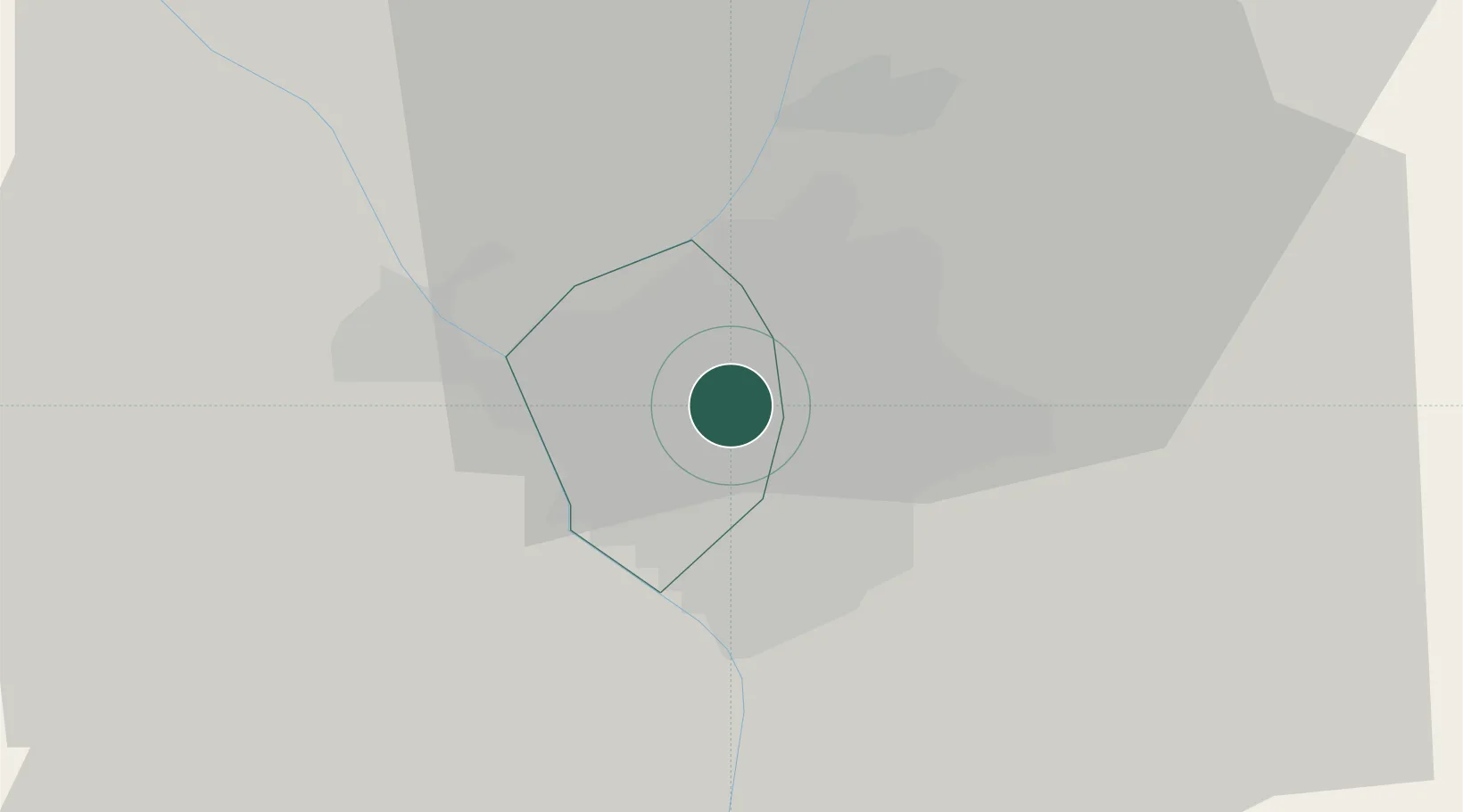
Asunción
-25.3133°, -57.5643°
1,482,200
Population
3
Transport functions
3
Container terminals
Transport Functions
Port
Airport
Postal
Hub Profile
Place type
National capital
Region
Asunción
Population
1,482,200
Time zone
America/Asuncion
Elevation
113 m
Logistics facilities
10
Container terminals
3
Location
Nearby Logistics Neighbours
Cities
- 1Lambare10 km
- 2Terport (San Antonio)10 km
- 3Barrio Caacupé Mí11 km
- 4Puerto Sara14 km
- 5San Antonio15 km
Airports
Trade Zones
- 1Zona Franca Global287 km
- 2Zona Franca Internacional288 km
- 3Zona Franca Puerto Iguazu Free Trade Zone303 km
- 4Rivera Free Zone656 km
- 5ZPE de Bataguassú (MS)662 km
DatabookThe Record of Consolidated Knowledge
Paraguay beyond logistics?