Transport Functions
Port
Road
Multimodal
Hub Profile
Region
11
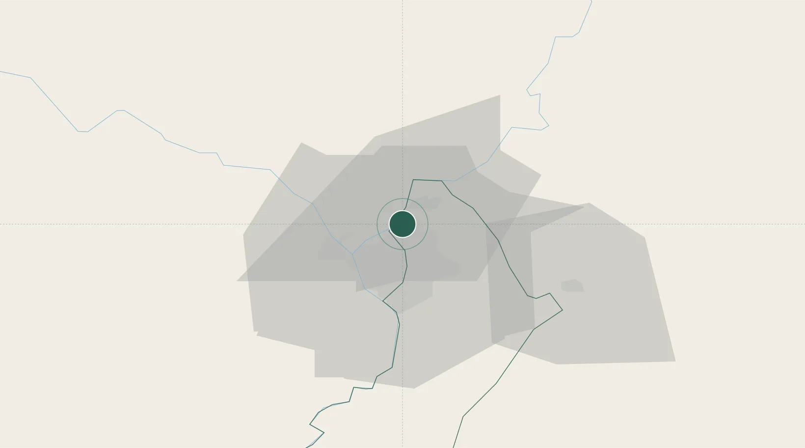
Location
Nearby Logistics Neighbours
Cities
- 1Limpio4 km
- 2Colonia Mariano Roque Alonso6 km
- 3Asunción11 km
- 4Villa Hayes13 km
- 5Lambare18 km
Ports
- 1Puerto De Asuncion15 km
- 2Concordia689 km
- 3Santa Fe779 km
- 4Parana779 km
- 5Colon780 km
Airports
Trade Zones
- 1Zona Franca Global287 km
- 2Zona Franca Internacional288 km
- 3Zona Franca Puerto Iguazu Free Trade Zone303 km
- 4ZPE de Bataguassú (MS)655 km
- 5Rivera Free Zone666 km
DatabookThe Record of Consolidated Knowledge
Paraguay beyond logistics?