Transport Functions
Port
Rail
Road
Hub Profile
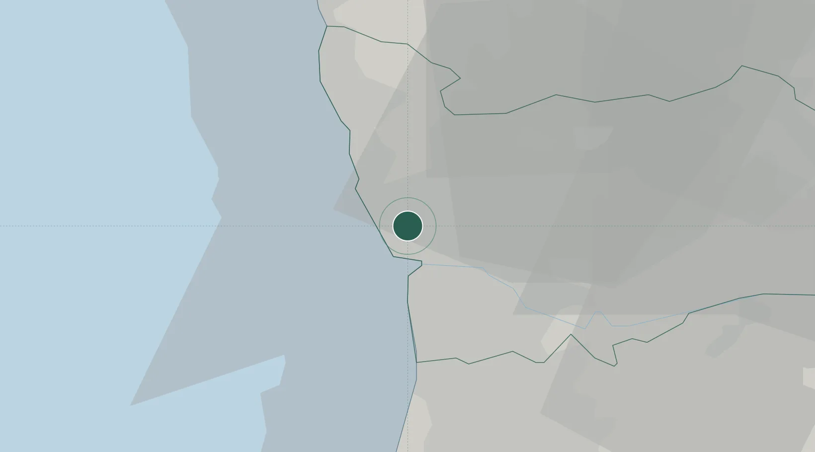
Place type
Populated place
Region
Porto
Population
9,231
Time zone
Europe/Lisbon
Elevation
66 m
Location
Nearby Logistics Neighbours
Cities
- 1Leixões2 km
- 2Senhora da Hora2 km
- 3Leça da Palmeira3 km
- 4Perafita3 km
- 5Matosinhos3 km
Ports
- 1Porto De Leixoes3 km
- 2Oporto6 km
- 3Viana Do Castelo57 km
- 4Aveiro61 km
- 5Vigo115 km
Airports
- 1Francisco de Sá Carneiro Airport6 km
- 2Vilar de Luz Airfield15 km
- 3Ovar Air Base32 km
- 4Braga Municipal Aerodrome47 km
- 5Vila Real Airport80 km
Trade Zones
DatabookThe Record of Consolidated Knowledge
Portugal beyond logistics?