Transport Functions
Port
Rail
Road
Hub Profile
Place type
Provincial seat
Region
Porto
Population
28,070
Time zone
Europe/Lisbon
Elevation
17 m
Logistics facilities
1
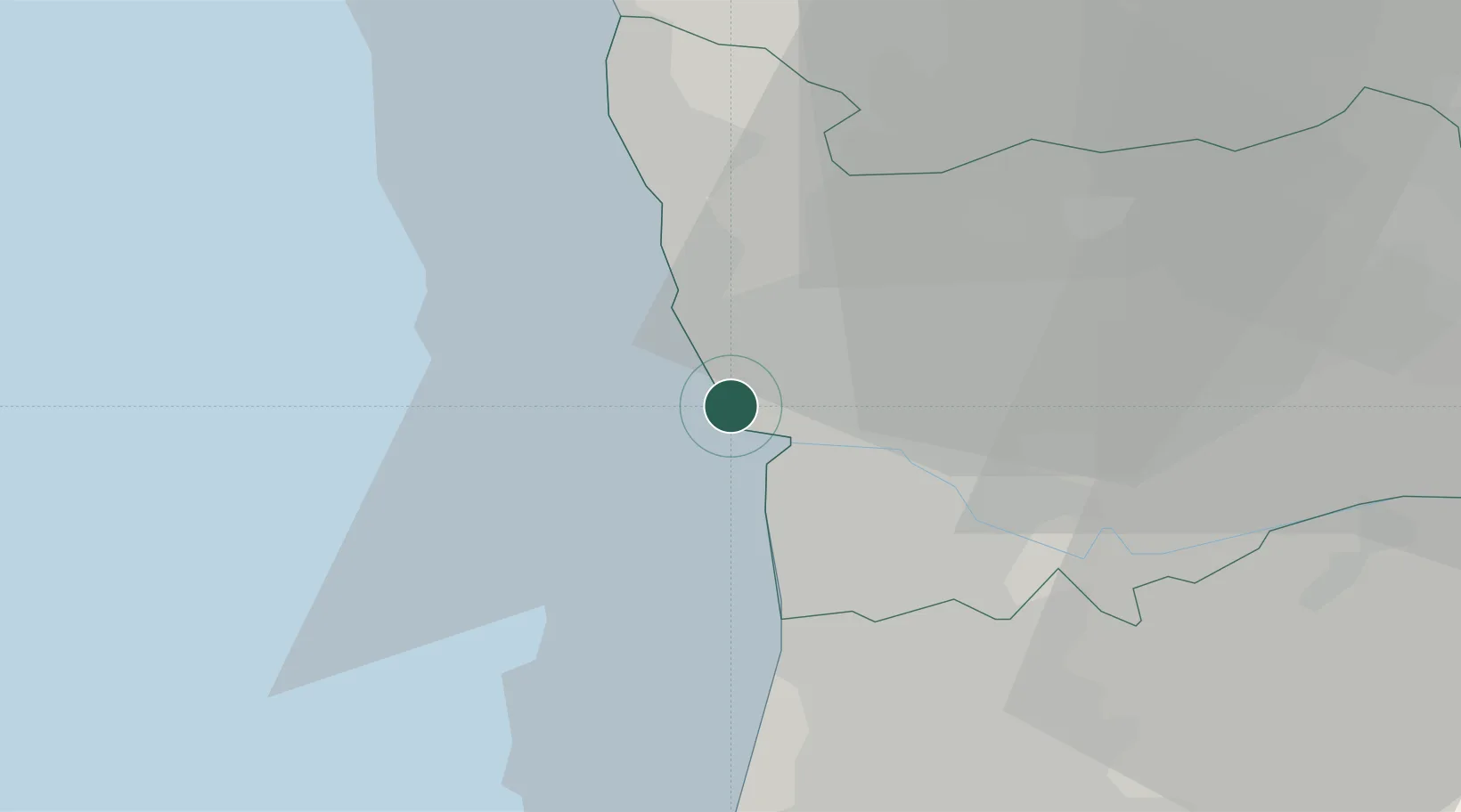
Location
Nearby Logistics Neighbours
Cities
- 1Guifões3 km
- 2Senhora da Hora4 km
- 3Leça da Palmeira4 km
- 4Leixões4 km
- 5Perafita5 km
Ports
- 1Porto De Leixoes1 km
- 2Oporto4 km
- 3Aveiro59 km
- 4Viana Do Castelo59 km
- 5Figueira Da Foz115 km
Airports
- 1Francisco de Sá Carneiro Airport8 km
- 2Vilar de Luz Airfield19 km
- 3Ovar Air Base29 km
- 4Braga Municipal Aerodrome50 km
- 5Vila Real Airport82 km
Trade Zones
DatabookThe Record of Consolidated Knowledge
Portugal beyond logistics?