UN/LOCODE hub · Portugal
PTLEI

Leixões

41.2124°, -8.6889°
3
Transport functions
1
Container terminals

Transport Functions

Port
Rail
Road
Leixões is also a profiled seaport →
UN/LOCODE

Hub Profile

Region
13
GeoNames
Logistics facilities
13
UN/LOCODE
Container terminals
1
UN/LOCODE

Location

Location of PTLEI
Natural Earth 10m (public domain) · 13 · PTLEI · 41.21, -8.69GoogleOSMYandex

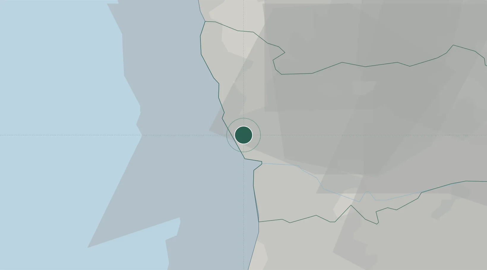
Nearby Logistics Neighbours

Cities
  1. 1Leça da Palmeira1 km
  2. 2Perafita1 km
  3. 3Porto2 km
  4. 4Guifões2 km
  5. 5Matosinhos4 km
Nearest neighbours — logibook spatial index (haversine) over the source coordinates
Ports
  1. 1Oporto7 km
  2. 2Viana Do Castelo56 km
  3. 3Aveiro63 km
  4. 4Vigo114 km
  5. 5Figueira Da Foz119 km
Nearest neighbours — logibook spatial index (haversine) over the source coordinates
Airports
  1. 1Francisco de Sá Carneiro Airport4 km
  2. 2Vilar de Luz Airfield16 km
  3. 3Ovar Air Base33 km
  4. 4Braga Municipal Aerodrome46 km
  5. 5Vila Real Airport81 km
Nearest neighbours — logibook spatial index (haversine) over the source coordinates
Trade Zones
  1. 1Zona Livre Tecnológica Masotinhos4 km
  2. 2VGP Park Santa Maria da Feira33 km
  3. 3Zona Franca de Vigo113 km
  4. 4Depósito Franco de La Coruña240 km
  5. 5Depósito Franco de Gijón359 km
Nearest neighbours — logibook spatial index (haversine) over the source coordinates
DatabookThe Record of Consolidated Knowledge
Portugal beyond logistics?
Browse databook

All Sources

LocationsUN/LOCODE
UN/LOCODE — free
Portsthe NGA World Port Index
Public domain (US gov)
AirportsOurAirports
Public domain
Trade Zonesthe World Bank SEZ database
CC BY 4.0
Trade ZonesOpen Zone Map
CC BY
← Portugal locations