UN/LOCODE hub · Portugal
PTLEP
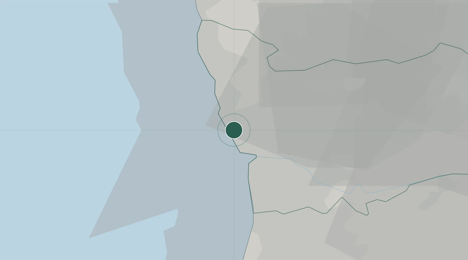
Leça da Palmeira
41.2113°, -8.7001°
17,996
Population
3
Transport functions
Transport Functions
Port
Rail
Road
Hub Profile
Place type
Populated place
Region
Porto
Population
17,996
Time zone
Europe/Lisbon
Elevation
18 m
Logistics facilities
1
Location
Nearby Logistics Neighbours
Cities
- 1Perafita1 km
- 2Leixões1 km
- 3Porto2 km
- 4Guifões3 km
- 5Matosinhos4 km
Ports
- 1Porto De Leixoes3 km
- 2Oporto7 km
- 3Viana Do Castelo56 km
- 4Aveiro63 km
- 5Vigo114 km
Airports
- 1Francisco de Sá Carneiro Airport4 km
- 2Vilar de Luz Airfield17 km
- 3Ovar Air Base33 km
- 4Braga Municipal Aerodrome47 km
- 5Vila Real Airport82 km
Trade Zones
DatabookThe Record of Consolidated Knowledge
Portugal beyond logistics?