Medium airport · French Polynesia
Huahine-Fare AirportNTTH
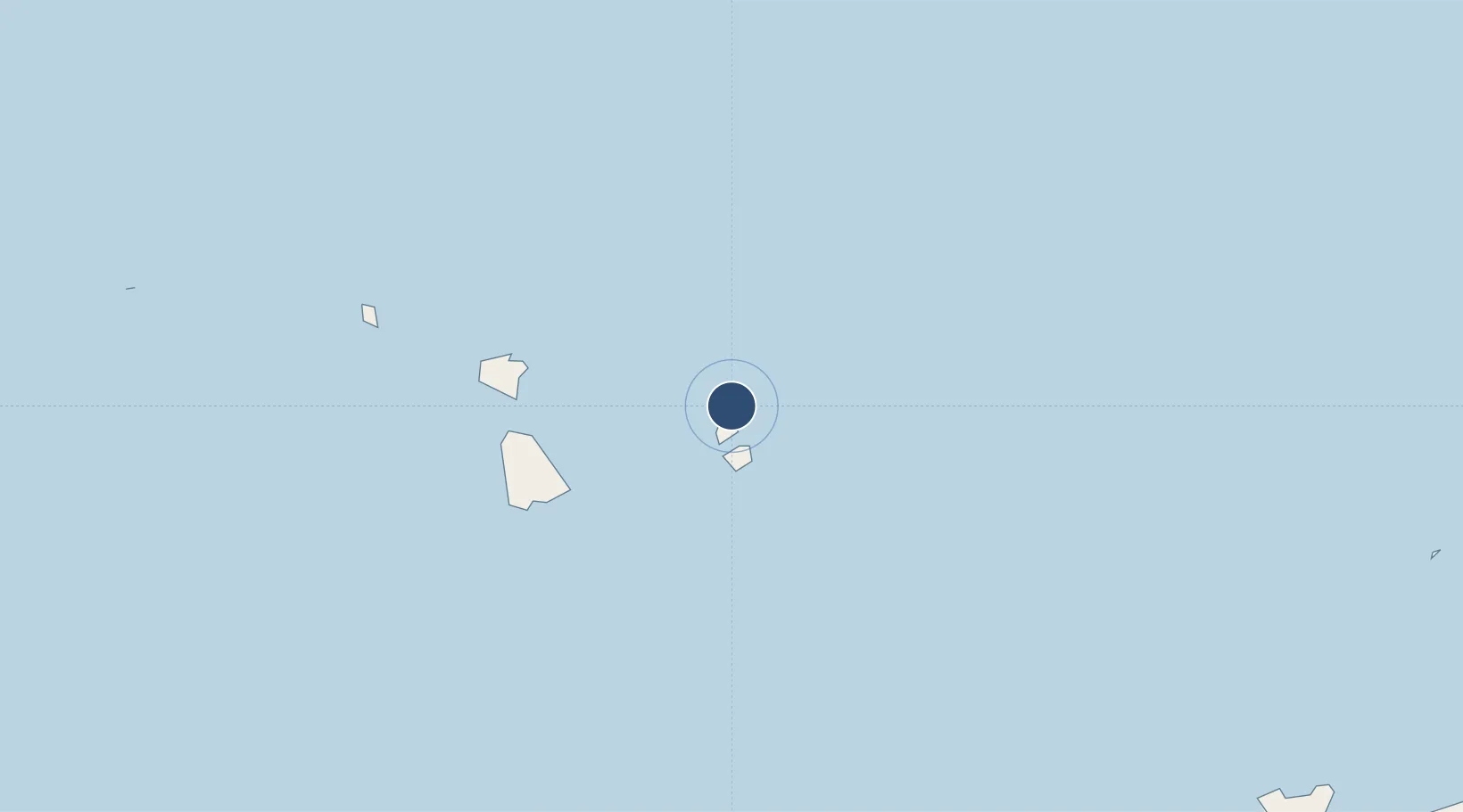
-16.6871°, -151.0216°
4,921 ft
Longest runway
1
Runways
7 ft
Elevation
Runway & Layout

Radio Frequencies
TWR
119.3 MHz
GND
119.3 MHz
APP
134.7 MHz
TAHITI CON
Navaids
HH NDB Huahine 345 kHz
HHN VOR-DME Huahine 112.70 MHz
Runways · 1
| Runway | Dimensions | Surface | True heading | Lit |
|---|---|---|---|---|
| 07/25 | 4,921 × 66ft | Asphalt | 080° | ✓ |
Airport Specifications
IATA code
HUH
ICAO code
NTTH
Airport class
Medium airport
Scheduled service
Yes
Runway surface
Asphalt
Served city
Fare
Location
Nearby Logistics Neighbours
Airports
- 1Raiatea Airport48 km
- 2Bora Bora Airport82 km
- 3Maupiti Airport134 km
- 4Moorea Temae Airport161 km
- 5Fa'a'ā International Airport179 km
Ports
- 1Uturoa46 km
- 2Vaitape80 km
- 3Papeete180 km
- 4Avatiu1049 km
- 5Baie Taiohae1465 km
Trade Zones
- 1FTZ No. 009 Honolulu4290 km
- 2FTZ No. 153 San Diego6564 km
- 3The Special Economic Zone of Lázaro Cárdenas - La Unión6588 km
- 4FTZ No. 202 Los Angeles6594 km
- 5FTZ No. 050 Long Beach6608 km
DatabookThe Record of Consolidated Knowledge
French Polynesia beyond logistics?