UN/LOCODE hub · Italy
ITTAR
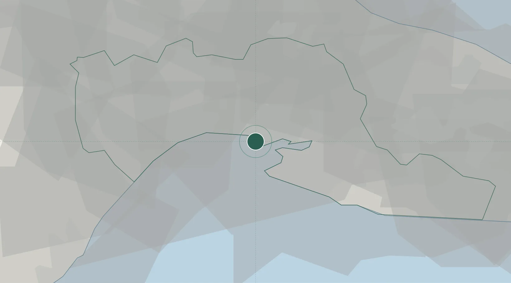
Taranto
40.4960°, 17.1773°
198,585
Population
1
Transport functions
1
Container terminals
Transport Functions
Port
Hub Profile
Place type
Provincial seat
Region
Apulia
Population
198,585
Time zone
Europe/Rome
Elevation
15 m
Logistics facilities
3
Container terminals
1
Location
Nearby Logistics Neighbours
Cities
- 1Massafra14 km
- 2Jajce19 km
- 3Grottaglie22 km
- 4Martina Franca26 km
- 5Marina di Ginosa26 km
Ports
- 1Monopoli52 km
- 2Mola Di Bari63 km
- 3Brindisi70 km
- 4Bari78 km
- 5Gallipoli84 km
Airports
DatabookThe Record of Consolidated Knowledge
Italy beyond logistics?