Transport Functions
Rail
Road
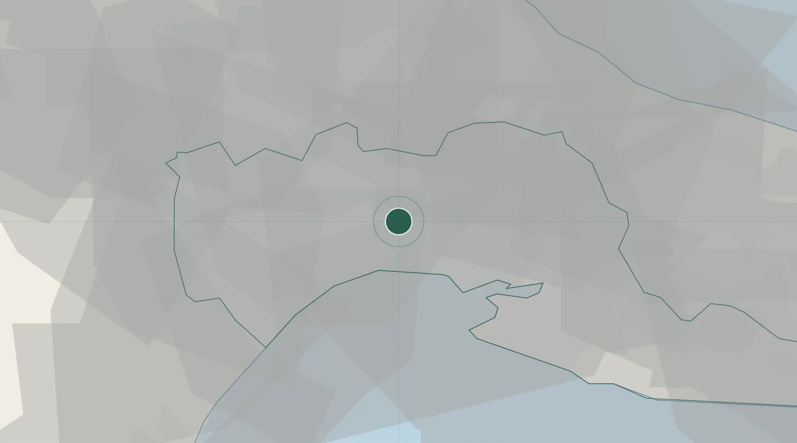
Hub Profile
Place type
District seat
Region
Apulia
Population
30,875
Time zone
Europe/Rome
Elevation
110 m
Location
Nearby Logistics Neighbours
Cities
- 1Taranto14 km
- 2Noci21 km
- 3Martina Franca24 km
- 4Alberobello26 km
- 5Marina di Ginosa27 km
Ports
- 1Taranto18 km
- 2Monopoli44 km
- 3Mola Di Bari51 km
- 4Bari64 km
- 5Brindisi76 km
Airports
DatabookThe Record of Consolidated Knowledge
Italy beyond logistics?