Transport Functions
Rail
Road
Hub Profile
Place type
District seat
Region
Apulia
Population
31,320
Time zone
Europe/Rome
Elevation
130 m
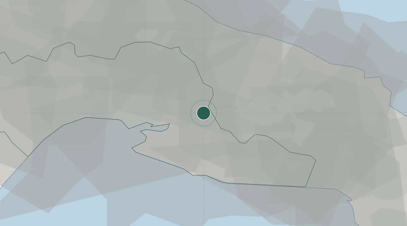
Location
Nearby Logistics Neighbours
Cities
- 1San Marzano di San Giuseppe11 km
- 2Sava18 km
- 3Martina Franca20 km
- 4Taranto22 km
- 5Manduria23 km
Ports
- 1Taranto21 km
- 2Monopoli48 km
- 3Brindisi48 km
- 4Mola Di Bari65 km
- 5Gallipoli70 km
Airports
DatabookThe Record of Consolidated Knowledge
Italy beyond logistics?