Seaport · Italy
BariITBRI
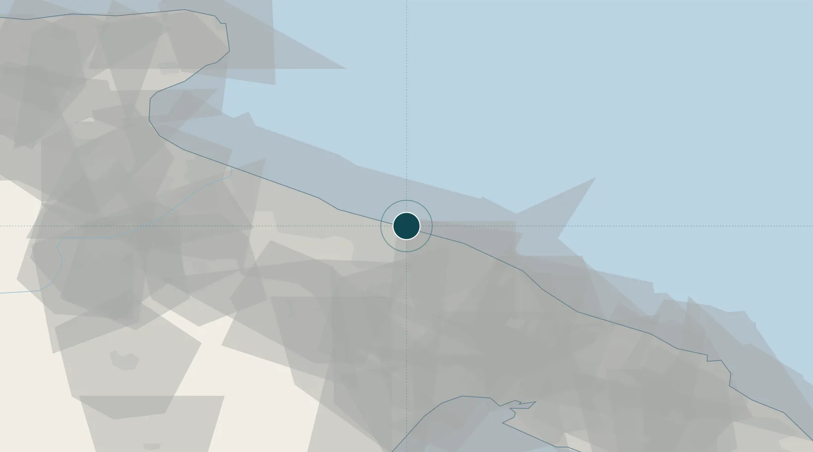
41.1460°, 16.8460°
11.0 m
Channel depth
1
Container terminals
21.9
Port liner connectivity
Channel & Berth Profile
Pilotage, Tugs & Services
Pilotage compulsoryYES
Pilotage availableYES
Pilotage advisableYES
Tug assistanceYES
Salvage tugsYES
Potable waterYES
Diesel bunkersYES
MedicalYES
Garbage disposalYES
Facilities & Capabilities
Container—
Ro-Ro—
Liquid bulk—
Dry bulk—
Oil terminal—
Break bulk—
Dry dockNO
RepairsNO
BunkeringYES
Rail linkYES
Dangerous cargo—
ISPS security—
Harbour Specifications
Harbour size
Medium
Harbour type
Coastal (Breakwater)
Shelter
Good
Water body
Adriatic Sea; Mediterranean Sea; North Atlantic Ocean
Pilotage
Yes
Liner Connectivity
21.9
PLSCI
Port Liner Shipping Connectivity Index for Bari, as published by UNCTAD for the latest available quarter. Higher values indicate stronger scheduled liner-shipping integration.
Shown relative to the highest per-port PLSCI in the dataset (1,657.9).
Location
Container Terminals · 1
PORT OF BARI
BARI AUTORITA DI SISTEMA PORTUALE DEL MARE ADRIATICO MERIDIONALE (ADSPMAM)
Nearby Logistics Neighbours
Ports
- 1Molfetta22 km
- 2Mola Di Bari23 km
- 3Bisceglie30 km
- 4Trani39 km
- 5Monopoli44 km
Cities
- 1Triggiano11 km
- 2Ceglie del Campo11 km
- 3Capurso12 km
- 4Valenzano13 km
- 5Giovinazzo16 km
Airports
Trade Zones
DatabookThe Record of Consolidated Knowledge
Italy beyond logistics?