Transport Functions
Port
Road
Hub Profile
Place type
District seat
Region
Abruzzo
Population
20,490
Time zone
Europe/Rome
Elevation
68 m
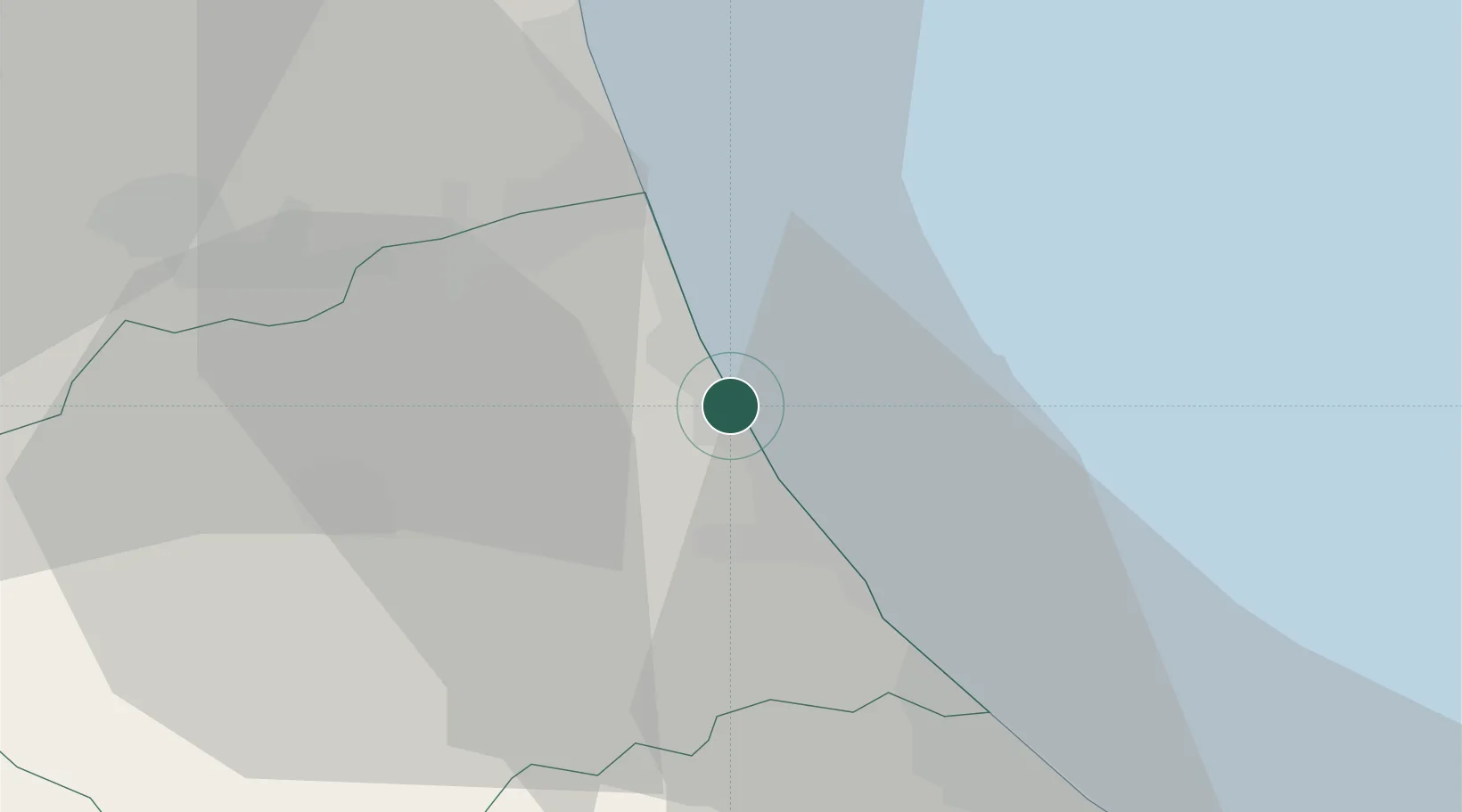
Location
Nearby Logistics Neighbours
Cities
- 1Notaresco13 km
- 2Sant'Omero14 km
- 3Sant'Atto15 km
- 4Casoli15 km
- 5Villa Rosa15 km
Ports
- 1San Benedetto Del Tronto24 km
- 2Pescara39 km
- 3Ortona58 km
- 4Civitanova Marche66 km
- 5Vasto94 km
Airports
- 1Abruzzo Airport40 km
- 2Marche Airport108 km
- 3Perugia San Francesco d'Assisi – Umbria International Airport124 km
- 4Guidonia Air Base131 km
- 5San Domino Island Heliport144 km
Trade Zones
DatabookThe Record of Consolidated Knowledge
Italy beyond logistics?