Transport Functions
Multimodal
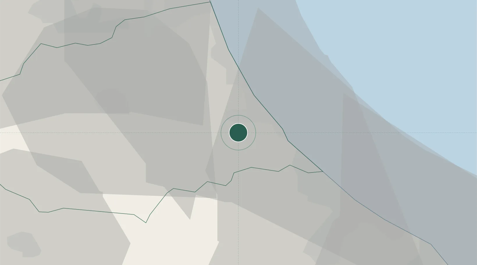
Hub Profile
Place type
Populated place
Region
Abruzzo
Population
1,085
Time zone
Europe/Rome
Elevation
189 m
Location
Nearby Logistics Neighbours
Cities
- 1Atri4 km
- 2Notaresco8 km
- 3Cellino Attanasio9 km
- 4Castelnuovo Vomano10 km
- 5Castilenti10 km
Ports
- 1Giulianova16 km
- 2Pescara28 km
- 3San Benedetto Del Tronto39 km
- 4Ortona47 km
- 5Civitanova Marche80 km
Airports
- 1Abruzzo Airport27 km
- 2Marche Airport122 km
- 3Guidonia Air Base123 km
- 4Perugia San Francesco d'Assisi – Umbria International Airport130 km
- 5San Domino Island Heliport137 km
Trade Zones
DatabookThe Record of Consolidated Knowledge
Italy beyond logistics?