Transport Functions
Rail
Road
Hub Profile
Place type
Populated place
Region
Abruzzo
Population
669
Time zone
Europe/Rome
Elevation
216 m
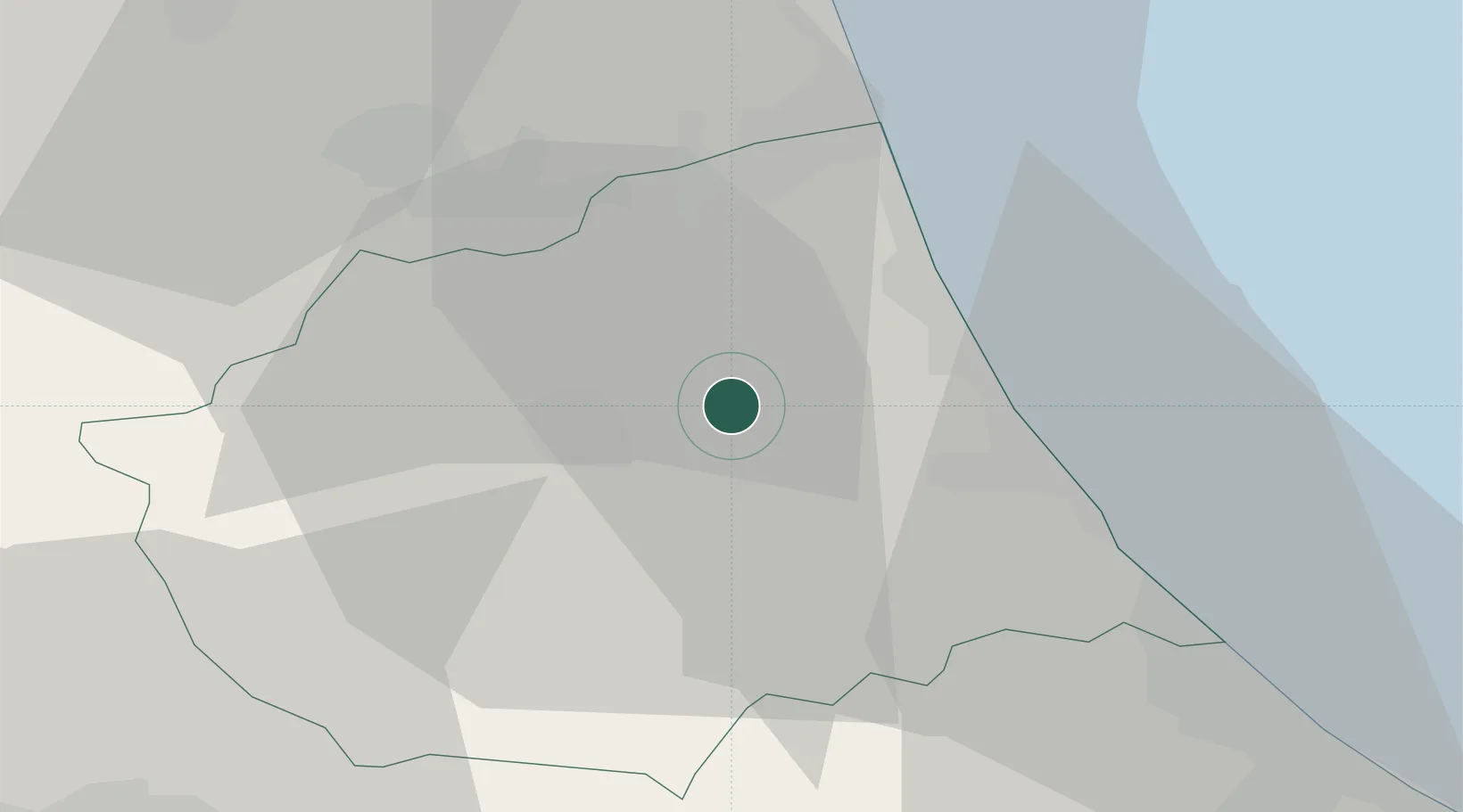
Location
Nearby Logistics Neighbours
Cities
- 1San Nicolò a Tordino2 km
- 2Villa Rosa4 km
- 3Castellalto4 km
- 4Notaresco9 km
- 5Sant'Omero9 km
Ports
- 1Giulianova16 km
- 2San Benedetto Del Tronto30 km
- 3Pescara44 km
- 4Ortona64 km
- 5Civitanova Marche69 km
Airports
- 1Abruzzo Airport43 km
- 2Marche Airport108 km
- 3Perugia San Francesco d'Assisi – Umbria International Airport114 km
- 4Guidonia Air Base118 km
- 5Rome Urbe Airport135 km
Trade Zones
DatabookThe Record of Consolidated Knowledge
Italy beyond logistics?