UN/LOCODE hub · Croatia
HRBAK

Bakar

45.3000°, 14.5167°
1,187
Population
3
Transport functions

Transport Functions

Port
Rail
Road
Bakar is also a profiled seaport →
UN/LOCODE

Hub Profile

Place type
Provincial seat
GeoNames
Region
Primorje-Gorski Kotar
GeoNames
Population
1,187
GeoNames
Time zone
Europe/Zagreb
GeoNames
Elevation
82 m
GeoNames

Location

Location of HRBAK
Natural Earth 10m (public domain) · Primorje-Gorski Kotar · HRBAK · 45.30, 14.52GoogleOSMYandex

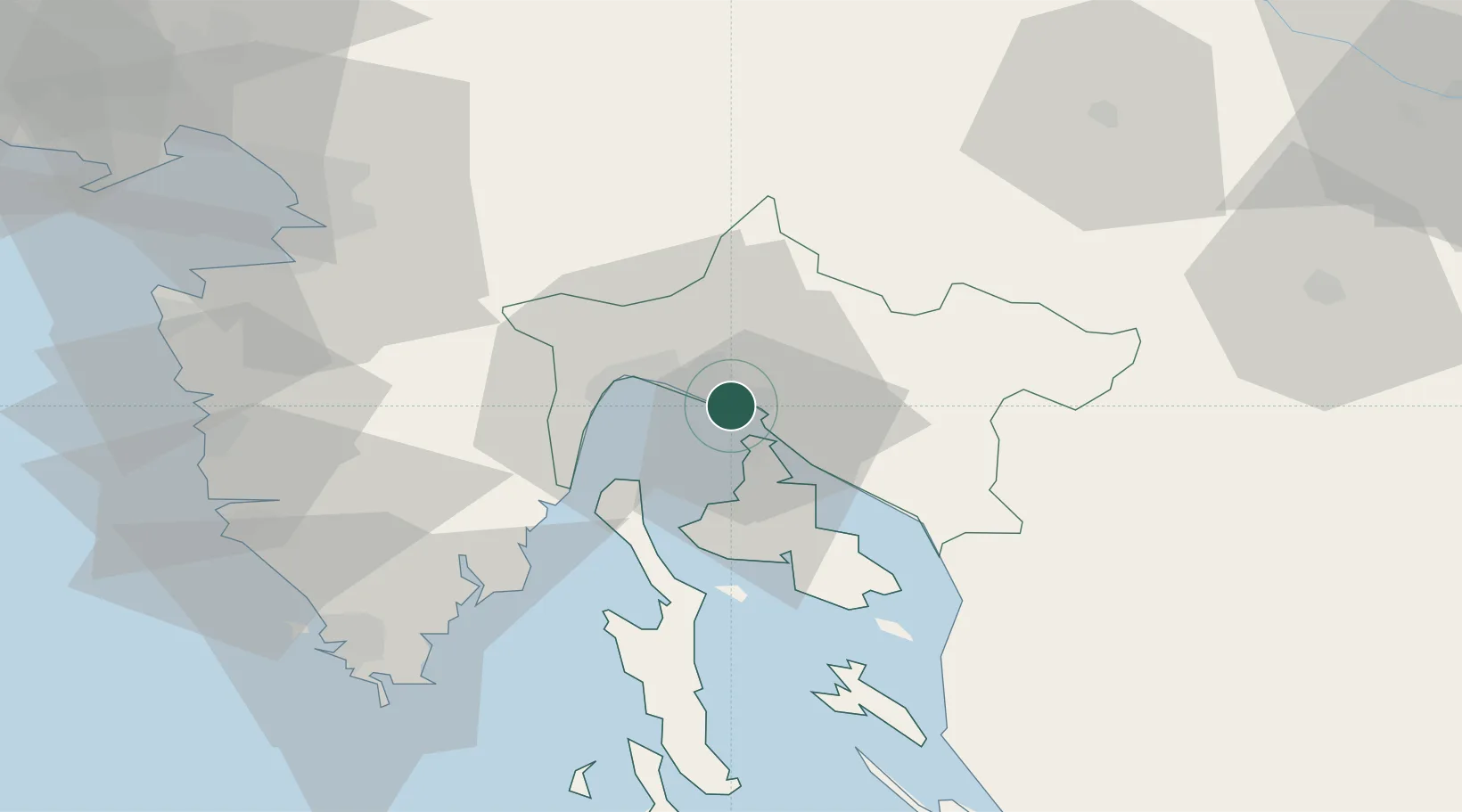
Nearby Logistics Neighbours

Cities
  1. 1Kostrena1 km
  2. 2Skrljevo2 km
  3. 3Krasica3 km
  4. 4Rijeka5 km
  5. 5Kraljevica5 km
Nearest neighbours — logibook spatial index (haversine) over the source coordinates
Ports
  1. 1Rijeka Luka8 km
  2. 2Omisalj10 km
  3. 3Zaliv Rasa45 km
  4. 4Senj46 km
  5. 5Koper67 km
Nearest neighbours — logibook spatial index (haversine) over the source coordinates
Airports
  1. 1Rijeka Airport10 km
  2. 2Pula Airport65 km
  3. 3Portorož Airport73 km
  4. 4Trieste Airport100 km
  5. 5Ljubljana Jože Pučnik Airport103 km
Nearest neighbours — logibook spatial index (haversine) over the source coordinates
Trade Zones
  1. 1Free Zone Kukuljanovo4 km
  2. 2Port of Rijeka Free Zone23 km
  3. 3Free Port of Trieste71 km
  4. 4Port of Pula Free Zone72 km
  5. 5PJ Free Zone Zagreb120 km
Nearest neighbours — logibook spatial index (haversine) over the source coordinates
DatabookThe Record of Consolidated Knowledge
Croatia beyond logistics?
Browse databook

All Sources

LocationsUN/LOCODE
UN/LOCODE — free
LocationsGeoNames
CC BY 4.0
Portsthe NGA World Port Index
Public domain (US gov)
AirportsOurAirports
Public domain
Trade Zonesthe World Bank SEZ database
CC BY 4.0
Trade ZonesOpen Zone Map
CC BY
← Croatia locations