Transport Functions
Road
Multimodal
Hub Profile
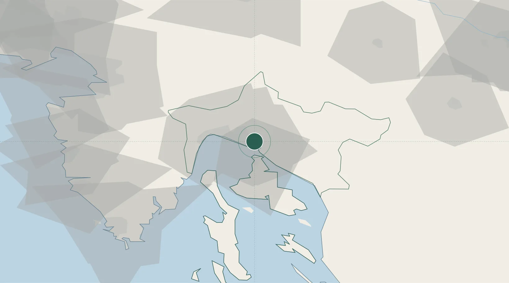
Place type
Populated place
Region
Primorje-Gorski Kotar
Population
1,325
Time zone
Europe/Zagreb
Elevation
192 m
Location
Nearby Logistics Neighbours
Cities
- 1Skrljevo3 km
- 2Bakar3 km
- 3Kostrena4 km
- 4Kraljevica6 km
- 5Rijeka7 km
Ports
- 1Bakar2 km
- 2Rijeka Luka9 km
- 3Omisalj11 km
- 4Senj46 km
- 5Zaliv Rasa48 km
Airports
- 1Rijeka Airport11 km
- 2Pula Airport68 km
- 3Portorož Airport75 km
- 4Cerklje ob Krki Air Base100 km
- 5Ljubljana Jože Pučnik Airport101 km
Trade Zones
- 1Free Zone Kukuljanovo4 km
- 2Port of Rijeka Free Zone26 km
- 3Free Port of Trieste72 km
- 4Port of Pula Free Zone76 km
- 5PJ Free Zone Zagreb116 km
DatabookThe Record of Consolidated Knowledge
Croatia beyond logistics?