UN/LOCODE hub · United Kingdom
GBLIV
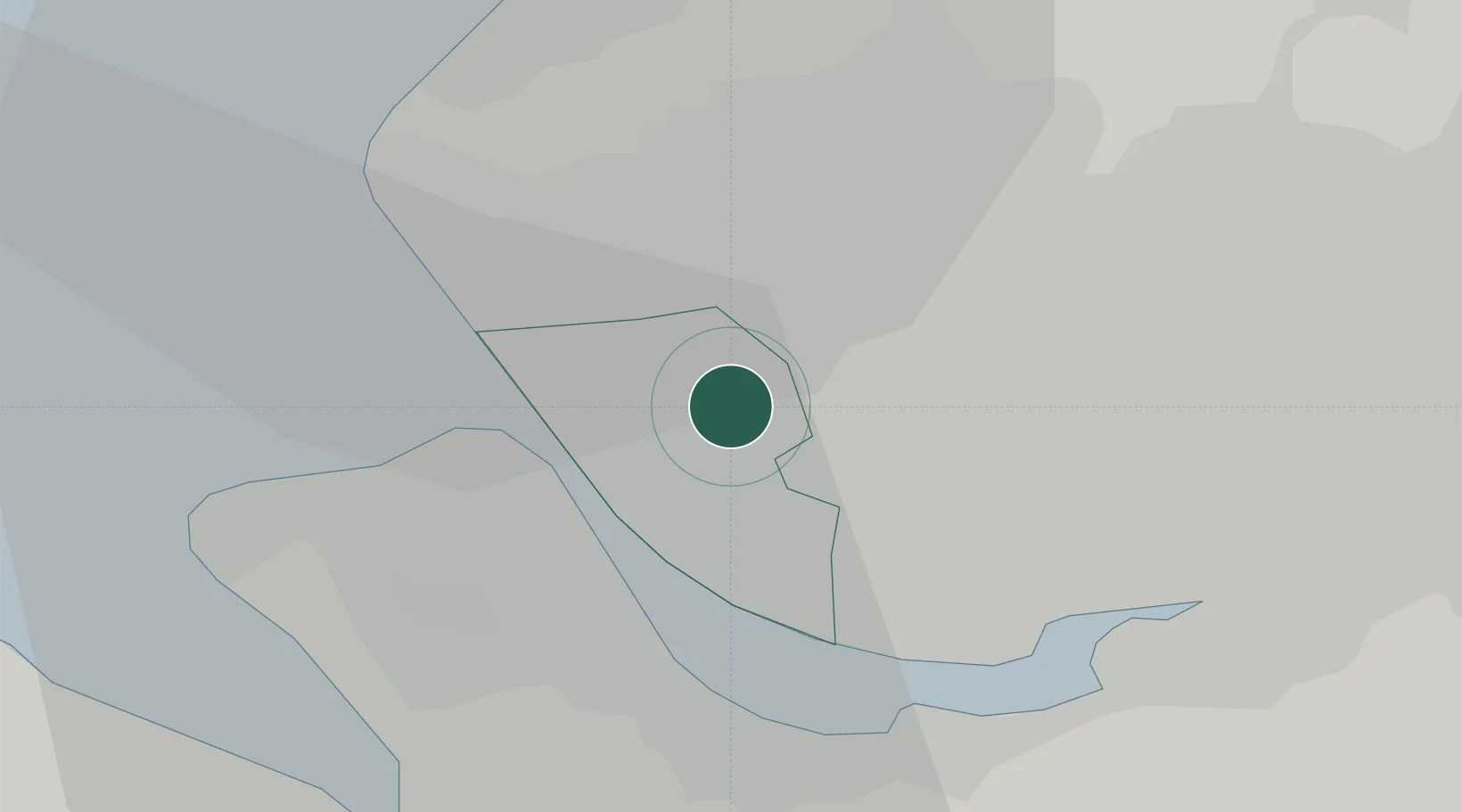
Liverpool
53.4452°, -2.9261°
496,770
Population
2
Transport functions
2
Container terminals
Transport Functions
Port
Airport
Hub Profile
Place type
Provincial seat
Region
England
Population
496,770
Time zone
Europe/London
Elevation
30 m
Logistics facilities
15
Container terminals
2
Location
Nearby Logistics Neighbours
Cities
- 1Bootle5 km
- 2Seaforth7 km
- 3Sefton7 km
- 4Dingle7 km
- 5Simonswood7 km
Ports
- 1Garlston11 km
- 2Mostyn27 km
- 3Liverpool Bay Terminal42 km
- 4Manchester44 km
- 5Fleetwood53 km
Airports
- 1Liverpool John Lennon Airport13 km
- 2Hawarden Airport30 km
- 3Warton Aerodrome34 km
- 4Blackpool Airport37 km
- 5Manchester Airport44 km
Trade Zones
DatabookThe Record of Consolidated Knowledge
United Kingdom beyond logistics?