Transport Functions
Port
Hub Profile
Region
WRL
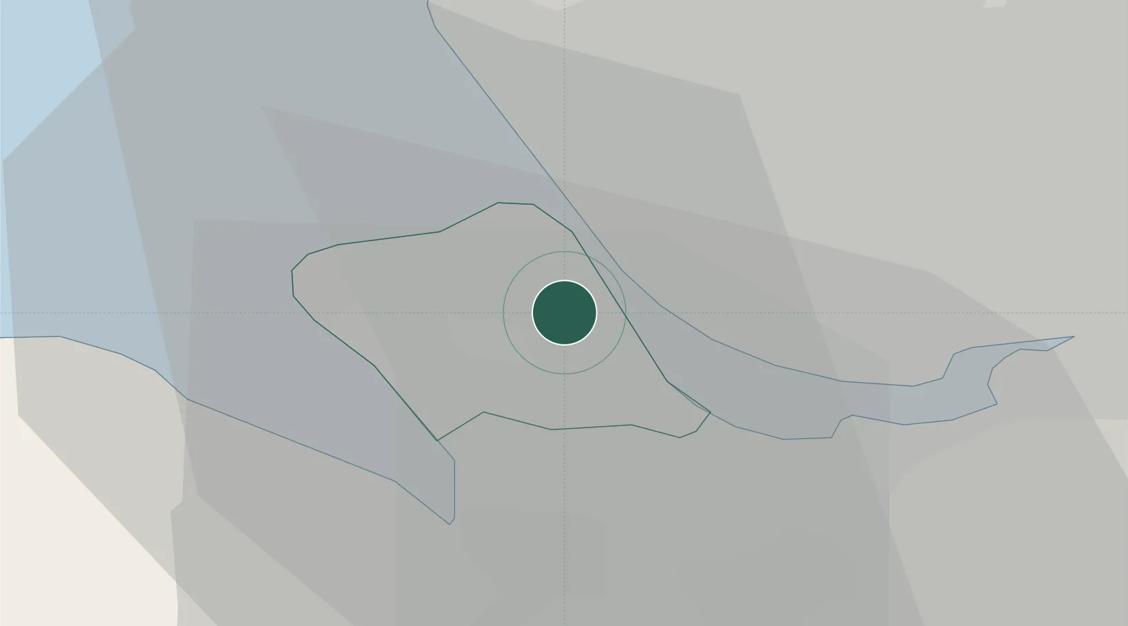
Location
Nearby Logistics Neighbours
Cities
- 1Prenton/Birkenhead1 km
- 2Rock Ferry1 km
- 3Bebington2 km
- 4Birkenhead3 km
- 5Port Sunlight4 km
Ports
- 1Liverpool6 km
- 2Garlston8 km
- 3Mostyn18 km
- 4Liverpool Bay Terminal40 km
- 5Manchester51 km
Airports
- 1Liverpool John Lennon Airport12 km
- 2Hawarden Airport21 km
- 3Warton Aerodrome43 km
- 4Blackpool Airport45 km
- 5Manchester Airport49 km
Trade Zones
DatabookThe Record of Consolidated Knowledge
United Kingdom beyond logistics?