Transport Functions
Port
Hub Profile
Place type
Populated place
Region
England
Population
57,791
Time zone
Europe/London
Elevation
15 m
Logistics facilities
1
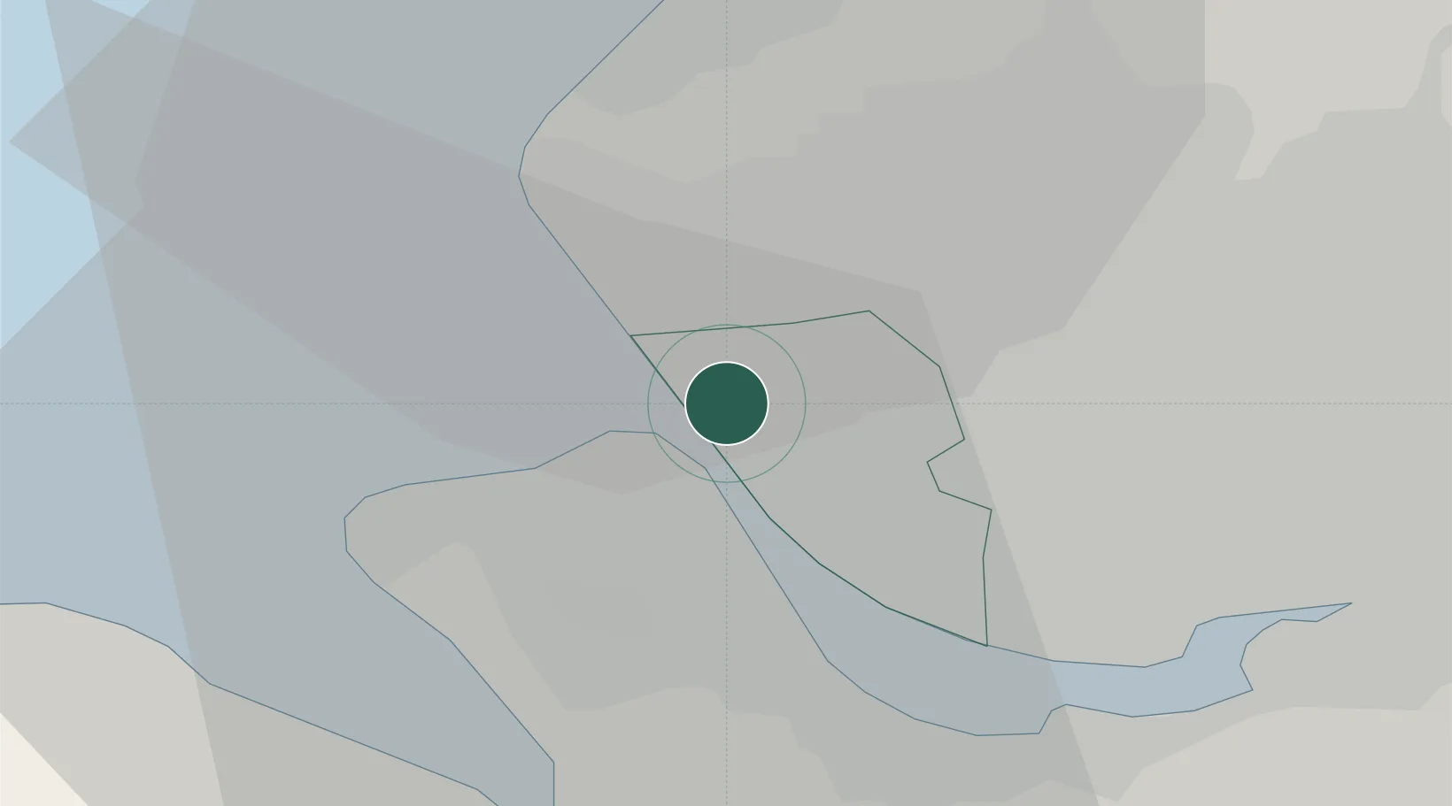
Location
Nearby Logistics Neighbours
Ports
- 1Liverpool4 km
- 2Garlston13 km
- 3Mostyn23 km
- 4Liverpool Bay Terminal38 km
- 5Manchester49 km
Airports
- 1Liverpool John Lennon Airport16 km
- 2Hawarden Airport30 km
- 3Warton Aerodrome34 km
- 4Blackpool Airport36 km
- 5Manchester Airport49 km
Trade Zones
DatabookThe Record of Consolidated Knowledge
United Kingdom beyond logistics?