Transport Functions
Multimodal
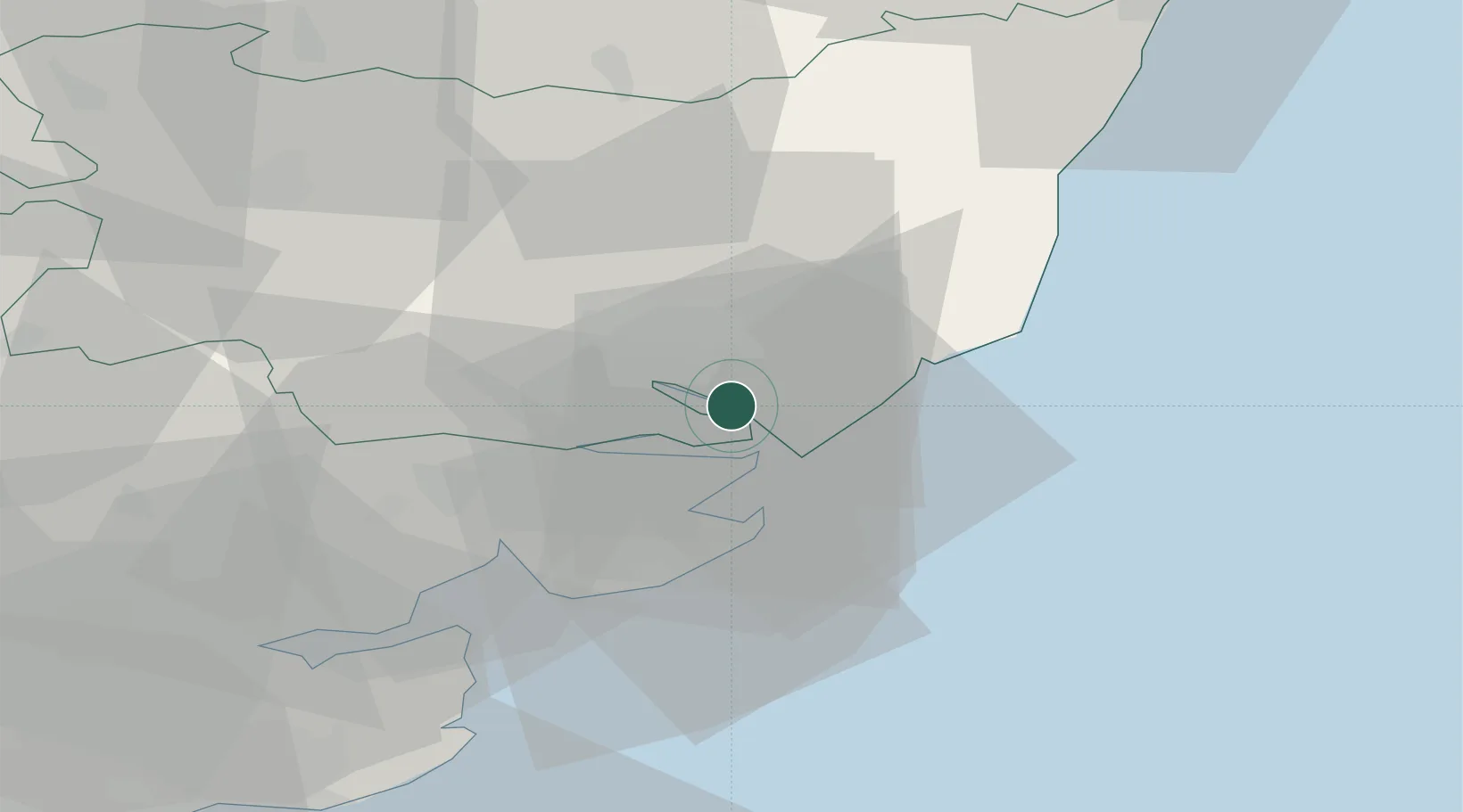
Hub Profile
Place type
Populated place
Region
England
Time zone
Europe/London
Elevation
21 m
Location
Nearby Logistics Neighbours
Cities
- 1Felixstowe6 km
- 2Kesgrave8 km
- 3Dovercourt8 km
- 4Little Oakley9 km
- 5Great Oakley12 km
Ports
- 1Harwich6 km
- 2Felixstowe7 km
- 3Ipswich8 km
- 4Colchester26 km
- 5Lowestoft64 km
Airports
- 1Wattisham Airfield25 km
- 2RAF Honington50 km
- 3London Southend Airport61 km
- 4RAF Lakenheath65 km
- 5RAF Mildenhall66 km
Trade Zones
DatabookThe Record of Consolidated Knowledge
United Kingdom beyond logistics?