UN/LOCODE hub · United Kingdom
GBFXT
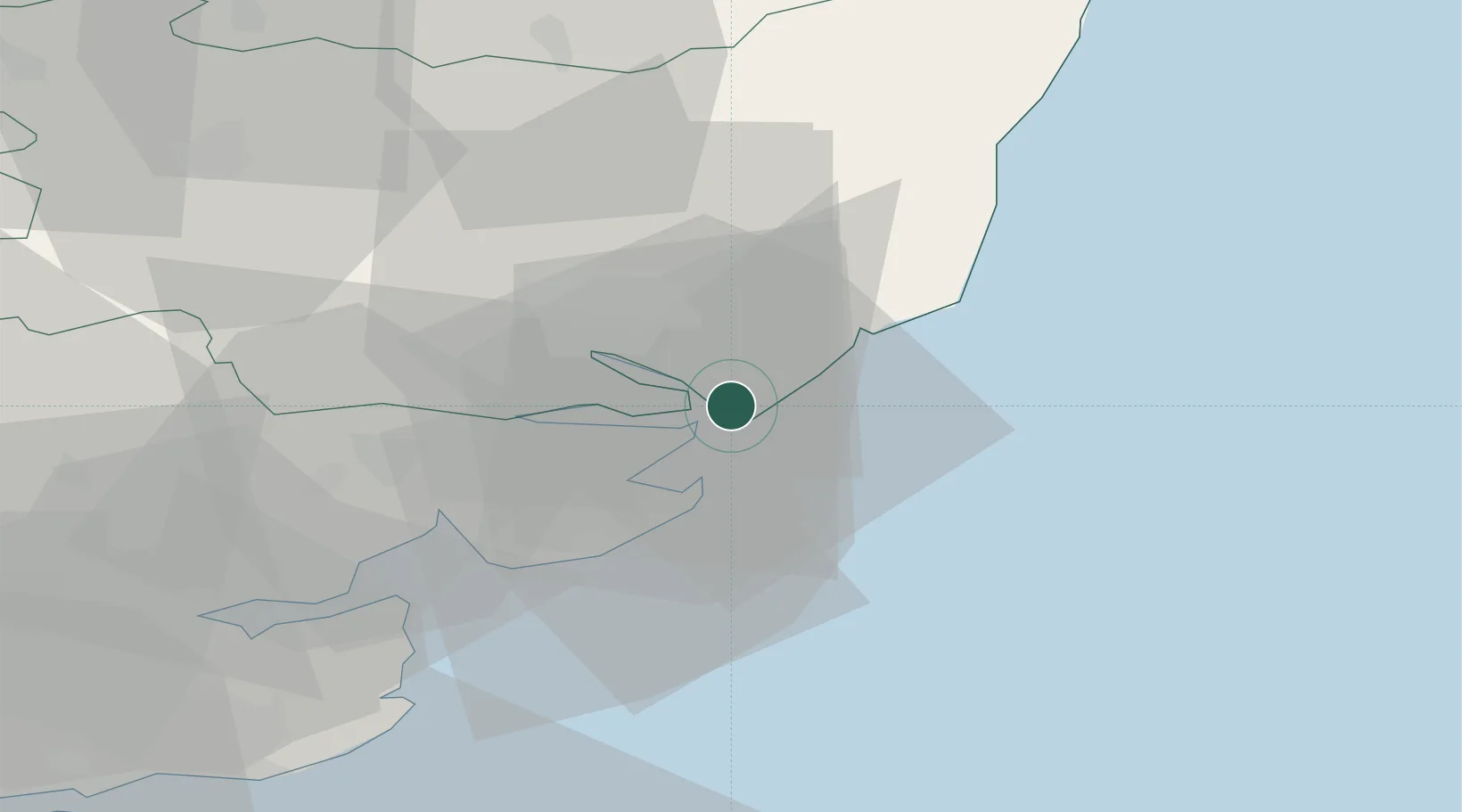
Felixstowe
51.9650°, 1.3212°
29,171
Population
1
Transport functions
3
Container terminals
Transport Functions
Port
Hub Profile
Place type
Populated place
Region
England
Population
29,171
Time zone
Europe/London
Elevation
22 m
Logistics facilities
18
Container terminals
3
Location
Nearby Logistics Neighbours
Cities
- 1Dovercourt4 km
- 2Levington6 km
- 3Little Oakley8 km
- 4Walton-on-the-Naze12 km
- 5Great Oakley12 km
Ports
- 1Harwich3 km
- 2Ipswich14 km
- 3Colchester29 km
- 4Lowestoft65 km
- 5Whitstable69 km
Airports
- 1Wattisham Airfield31 km
- 2RAF Honington56 km
- 3London Southend Airport62 km
- 4RAF Lakenheath72 km
- 5RAF Mildenhall72 km
Trade Zones
DatabookThe Record of Consolidated Knowledge
United Kingdom beyond logistics?