UN/LOCODE hub · United Kingdom
GBBRK
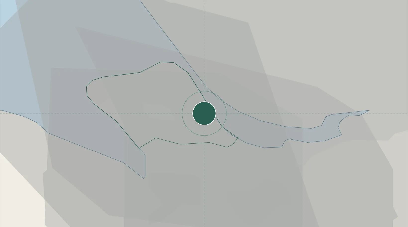
Birkenhead
53.3467°, -2.9836°
325,264
Population
3
Transport functions
Transport Functions
Port
Rail
Road
Hub Profile
Place type
Populated place
Region
England
Population
325,264
Time zone
Europe/London
Elevation
22 m
Logistics facilities
1
Location
Nearby Logistics Neighbours
Cities
- 1Port Sunlight2 km
- 2Bebington2 km
- 3Rock Ferry3 km
- 4Tranmere3 km
- 5Prenton/Birkenhead4 km
Ports
- 1Garlston6 km
- 2Liverpool8 km
- 3Mostyn19 km
- 4Liverpool Bay Terminal43 km
- 5Manchester50 km
Airports
- 1Liverpool John Lennon Airport9 km
- 2Hawarden Airport19 km
- 3Warton Aerodrome45 km
- 4Manchester Airport47 km
- 5Blackpool Airport47 km
Trade Zones
DatabookThe Record of Consolidated Knowledge
United Kingdom beyond logistics?