UN/LOCODE hub · United Kingdom
GBCSN
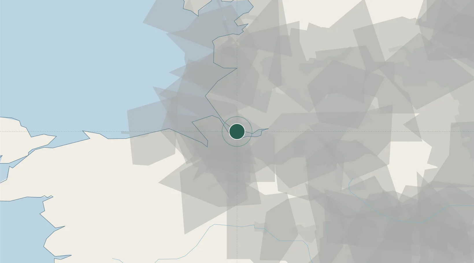
Garston
53.3333°, -2.9000°
21,403
Population
1
Transport functions
Transport Functions
Port
Hub Profile
Place type
Populated place
Region
England
Population
21,403
Time zone
Europe/London
Location
Nearby Logistics Neighbours
Cities
- 1Garston0 km
- 2Mossley Hill4 km
- 3Port Sunlight6 km
- 4Birkenhead6 km
- 5Eastham6 km
Ports
- 1Garlston2 km
- 2Liverpool11 km
- 3Mostyn24 km
- 4Manchester45 km
- 5Liverpool Bay Terminal49 km
Airports
- 1Liverpool John Lennon Airport3 km
- 2Hawarden Airport18 km
- 3Manchester Airport41 km
- 4Warton Aerodrome46 km
- 5Blackpool Airport50 km
Trade Zones
DatabookThe Record of Consolidated Knowledge
United Kingdom beyond logistics?