Transport Functions
Multimodal
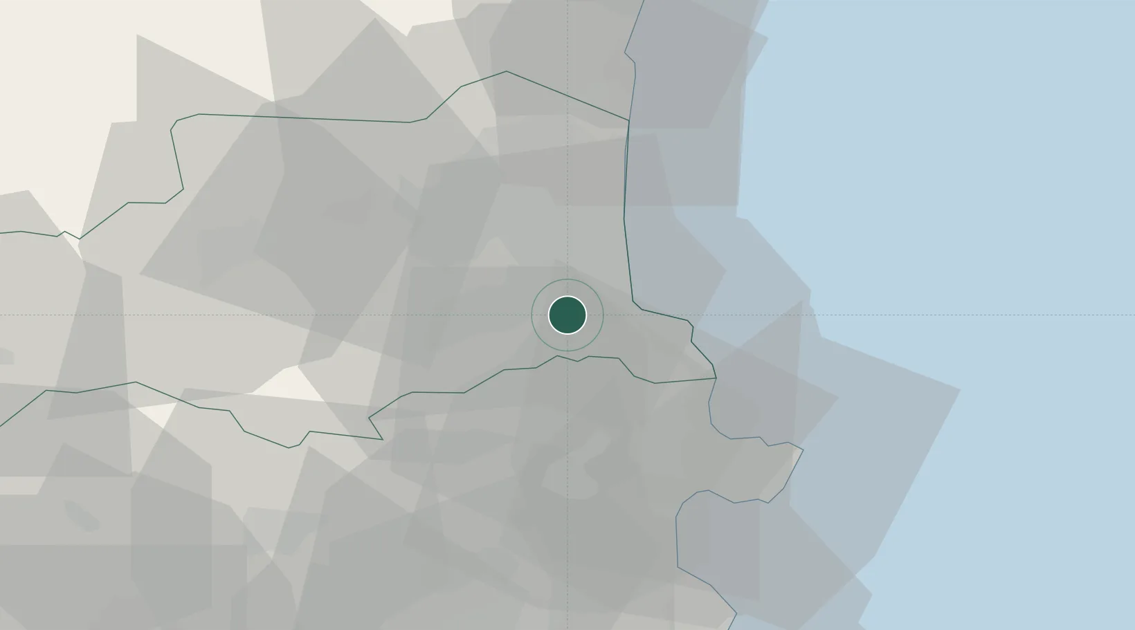
Hub Profile
Place type
Populated place
Region
Occitanie
Population
2,941
Time zone
Europe/Paris
Elevation
76 m
Location
Nearby Logistics Neighbours
Cities
- 1Palau-del-Vidre4 km
- 2Montesquieu-des-Albères7 km
- 3Bages9 km
- 4Montescot9 km
- 5Le Boulou10 km
Ports
- 1Port-Vendres14 km
- 2Rosas35 km
- 3Port-La-Nouvelle55 km
- 4Palamos79 km
- 5San Feliu De Guixols84 km
Airports
Trade Zones
- 1ZFU Perpignan19 km
- 2ZFU Béziers92 km
- 3ZFU Montpellier140 km
- 4Zona Franca de Barcelona150 km
- 5ZFU Toulouse171 km
DatabookThe Record of Consolidated Knowledge
France beyond logistics?