Transport Functions
Port
Rail
Hub Profile
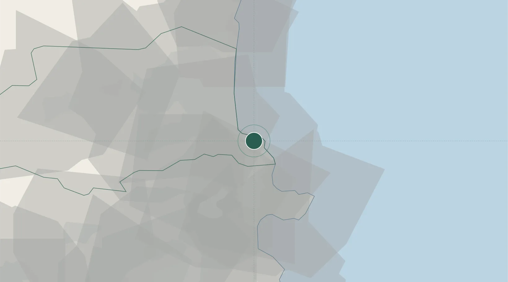
Place type
Populated place
Region
Occitanie
Population
4,479
Time zone
Europe/Paris
Elevation
7 m
Logistics facilities
1
Location
Nearby Logistics Neighbours
Cities
- 1Collioure2 km
- 2Cerbère9 km
- 3Port-Bou10 km
- 4Palau-del-Vidre13 km
- 5Sorède13 km
Ports
- 1Rosas28 km
- 2Port-La-Nouvelle56 km
- 3Palamos76 km
- 4San Feliu De Guixols82 km
- 5Sete110 km
Airports
Trade Zones
- 1ZFU Perpignan27 km
- 2ZFU Béziers92 km
- 3ZFU Montpellier135 km
- 4Zona Franca de Barcelona155 km
- 5ZFU Nîmes177 km
DatabookThe Record of Consolidated Knowledge
France beyond logistics?