Transport Functions
Rail
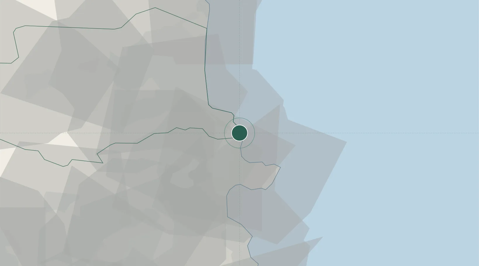
Hub Profile
Region
66
Location
Nearby Logistics Neighbours
Cities
- 1Port-Bou2 km
- 2Port-Vendres9 km
- 3Collioure10 km
- 4Puerto de la Selva13 km
- 5Garriguella15 km
Ports
- 1Port-Vendres9 km
- 2Rosas20 km
- 3Port-La-Nouvelle64 km
- 4Palamos69 km
- 5San Feliu De Guixols75 km
Airports
Trade Zones
- 1ZFU Perpignan36 km
- 2ZFU Béziers99 km
- 3ZFU Montpellier140 km
- 4Zona Franca de Barcelona151 km
- 5ZFU Nîmes180 km
DatabookThe Record of Consolidated Knowledge
France beyond logistics?