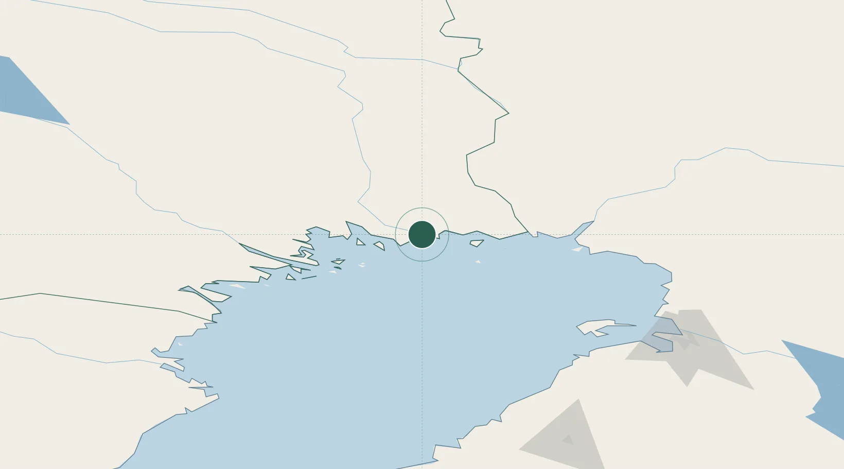
UN/LOCODE hub · Sweden
SEKXV

Karlsborg Axelvik

65.8000°, 23.2833°
1
Transport functions

Transport Functions

Port
Karlsborg Axelvik is also a profiled seaport →
UN/LOCODE

Hub Profile

Region
BD
GeoNames

Location

Location of SEKXV
Natural Earth 10m (public domain) · BD · SEKXV · 65.80, 23.28GoogleOSMYandex

Nearby Logistics Neighbours

Cities
  1. 1Töre31 km
  2. 2Torneå (Tornio)40 km
  3. 3Röyttä41 km
  4. 4Luleå57 km
  5. 5Kemi/Torneå (Kemi/Tornio)59 km
Nearest neighbours — logibook spatial index (haversine) over the source coordinates
Ports
  1. 1Sandvik23 km
  2. 2Torehamn31 km
  3. 3Tornio41 km
  4. 4Lulea57 km
  5. 5Kemi59 km
Nearest neighbours — logibook spatial index (haversine) over the source coordinates
Airports
  1. 1Kemi-Tornio Airport59 km
  2. 2Luleå Airport60 km
  3. 3Oulu Airport136 km
  4. 4Rovaniemi Airport142 km
  5. 5Pajala Airport161 km
Nearest neighbours — logibook spatial index (haversine) over the source coordinates
Trade Zones
  1. 1Oulu Port Free Warehouse Area133 km
  2. 2Free Zone of Lappeenranta581 km
  3. 3Turku Free Zone598 km
  4. 4Port of Hamina-Kotka620 km
  5. 5Freeport of Hanko664 km
Nearest neighbours — logibook spatial index (haversine) over the source coordinates
DatabookThe Record of Consolidated Knowledge
Sweden beyond logistics?
Browse databook

All Sources

LocationsUN/LOCODE
UN/LOCODE — free
Portsthe NGA World Port Index
Public domain (US gov)
AirportsOurAirports
Public domain
Trade Zonesthe World Bank SEZ database
CC BY 4.0
Trade ZonesOpen Zone Map
CC BY
← Sweden locations