UN/LOCODE hub · Finland
FITOR
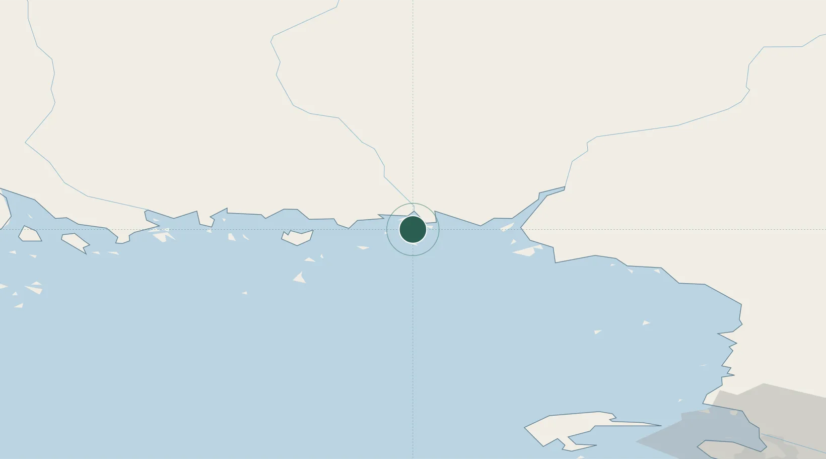
Torneå (Tornio)
65.7562°, 24.1587°
1
Transport functions
1
Container terminals
Transport Functions
Port
Hub Profile
Region
10
Logistics facilities
2
Container terminals
1
Location
Nearby Logistics Neighbours
Cities
- 1Röyttä1 km
- 2Kemi/Torneå (Kemi/Tornio)20 km
- 3Ajos21 km
- 4Veitsiluoto23 km
- 5Karlsborg Axelvik40 km
Ports
- 1Sandvik18 km
- 2Kemi19 km
- 3Veitsiluoto22 km
- 4Karlsborg40 km
- 5Torehamn71 km
Airports
- 1Kemi-Tornio Airport20 km
- 2Luleå Airport96 km
- 3Oulu Airport107 km
- 4Rovaniemi Airport117 km
- 5Pajala Airport172 km
Trade Zones
- 1Oulu Port Free Warehouse Area103 km
- 2Murmansk Special Economic Zone521 km
- 3Free Zone of Lappeenranta560 km
- 4Turku Free Zone599 km
- 5Port of Hamina-Kotka604 km
DatabookThe Record of Consolidated Knowledge
Finland beyond logistics?