UN/LOCODE hub · Finland
FIROY

Röyttä

65.7500°, 24.1667°
1
Transport functions

Transport Functions

Port
UN/LOCODE

Location

Location of FIROY
Natural Earth 10m (public domain) · Lapland · FIROY · 65.75, 24.17GoogleOSMYandex

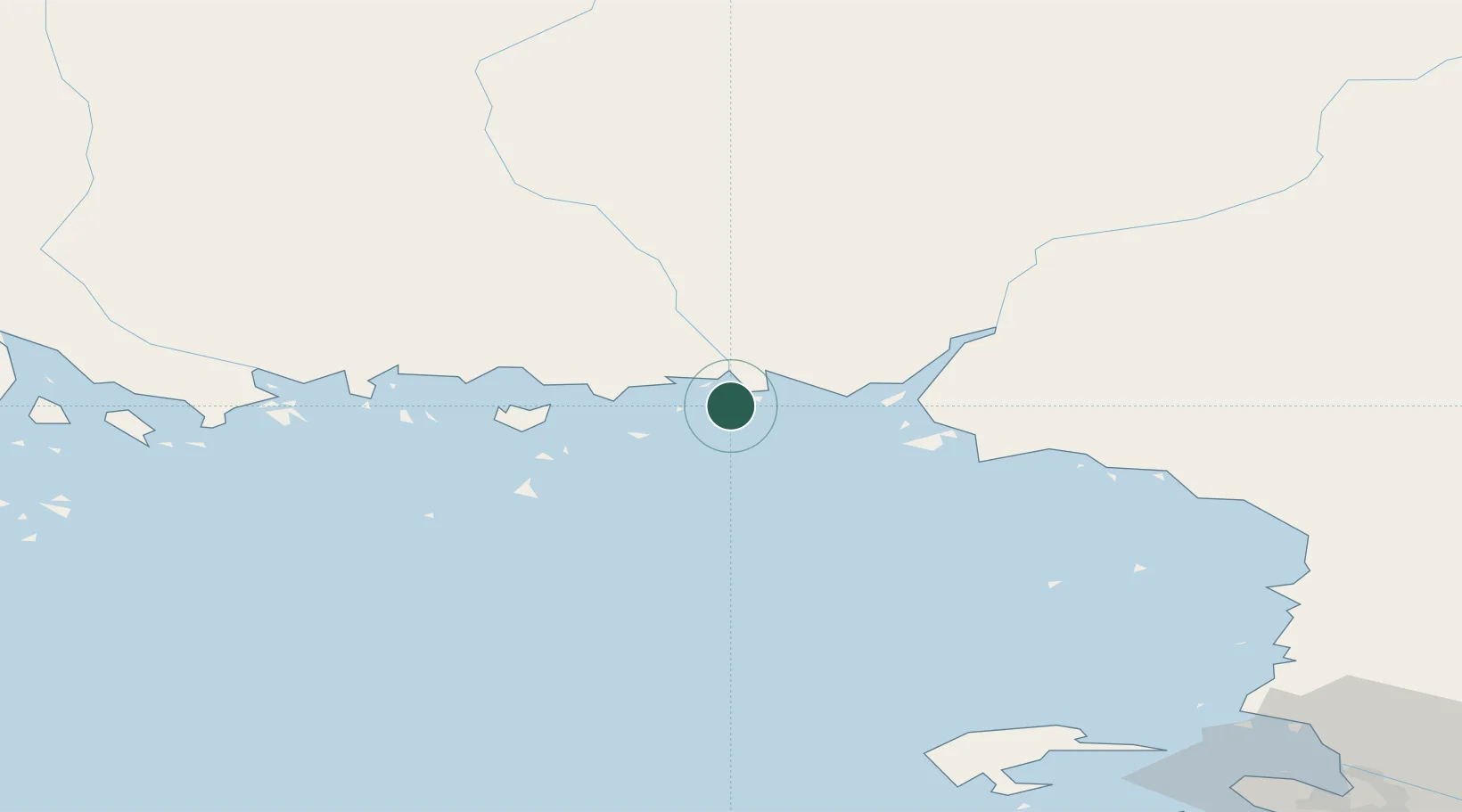
Nearby Logistics Neighbours

Cities
  1. 1Torneå (Tornio)1 km
  2. 2Kemi/Torneå (Kemi/Tornio)19 km
  3. 3Ajos21 km
  4. 4Veitsiluoto23 km
  5. 5Karlsborg Axelvik41 km
Nearest neighbours — logibook spatial index (haversine) over the source coordinates
Ports
  1. 1Tornio2 km
  2. 2Kemi18 km
  3. 3Sandvik18 km
  4. 4Veitsiluoto21 km
  5. 5Karlsborg41 km
Nearest neighbours — logibook spatial index (haversine) over the source coordinates
Airports
  1. 1Kemi-Tornio Airport19 km
  2. 2Luleå Airport97 km
  3. 3Oulu Airport107 km
  4. 4Rovaniemi Airport117 km
  5. 5Pajala Airport173 km
Nearest neighbours — logibook spatial index (haversine) over the source coordinates
Trade Zones
  1. 1Oulu Port Free Warehouse Area102 km
  2. 2Murmansk Special Economic Zone522 km
  3. 3Free Zone of Lappeenranta559 km
  4. 4Turku Free Zone598 km
  5. 5Port of Hamina-Kotka603 km
Nearest neighbours — logibook spatial index (haversine) over the source coordinates
DatabookThe Record of Consolidated Knowledge
Finland beyond logistics?
Browse databook

All Sources

LocationsUN/LOCODE
UN/LOCODE — free
Portsthe NGA World Port Index
Public domain (US gov)
AirportsOurAirports
Public domain
Trade Zonesthe World Bank SEZ database
CC BY 4.0
Trade ZonesOpen Zone Map
CC BY
← Finland locations