UN/LOCODE hub · Spain
ESVGO
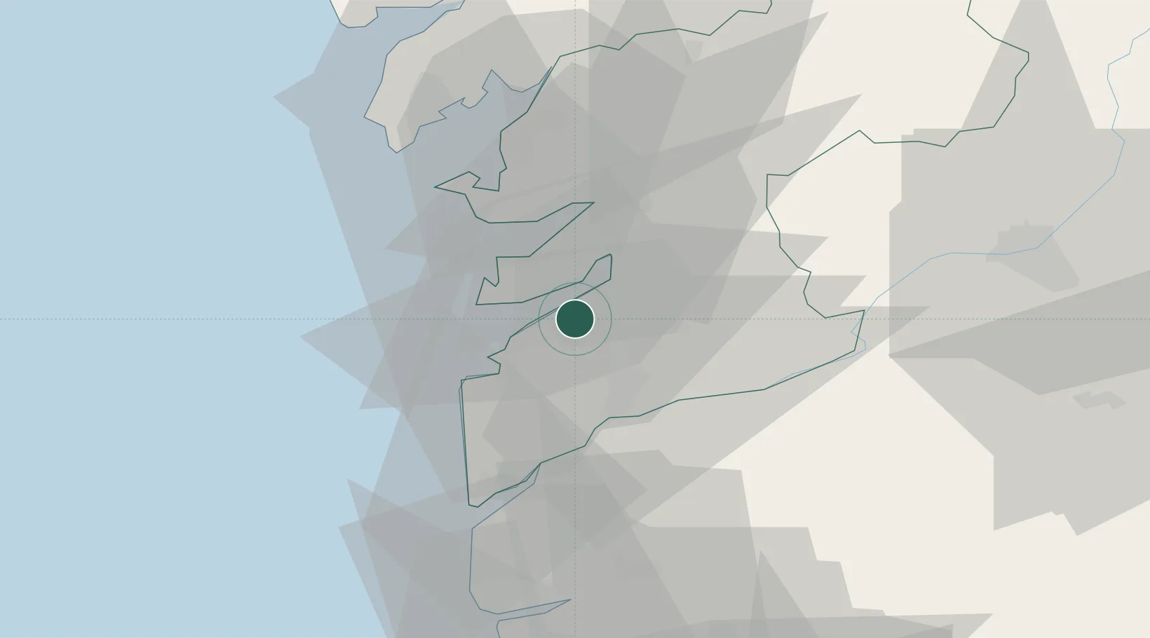
Vigo
42.2300°, -8.6888°
293,642
Population
2
Transport functions
1
Container terminals
Transport Functions
Port
Airport
Hub Profile
Place type
District seat
Region
Galicia
Population
293,642
Time zone
Europe/Madrid
Elevation
86 m
Logistics facilities
10
Container terminals
1
Location
Nearby Logistics Neighbours
Cities
- 1Chapela5 km
- 2Puxeiros6 km
- 3Sanguineda7 km
- 4Moaña7 km
- 5Redondela10 km
Ports
- 1Marin19 km
- 2Villagarcia De Arosa42 km
- 3Viana Do Castelo60 km
- 4Porto De Leixoes116 km
- 5Oporto120 km
Airports
- 1Vigo Airport5 km
- 2Braga Municipal Aerodrome74 km
- 3Santiago-Rosalía de Castro Airport77 km
- 4Vilar de Luz Airfield107 km
- 5Francisco de Sá Carneiro Airport109 km
Trade Zones
DatabookThe Record of Consolidated Knowledge
Spain beyond logistics?