Transport Functions
Multimodal
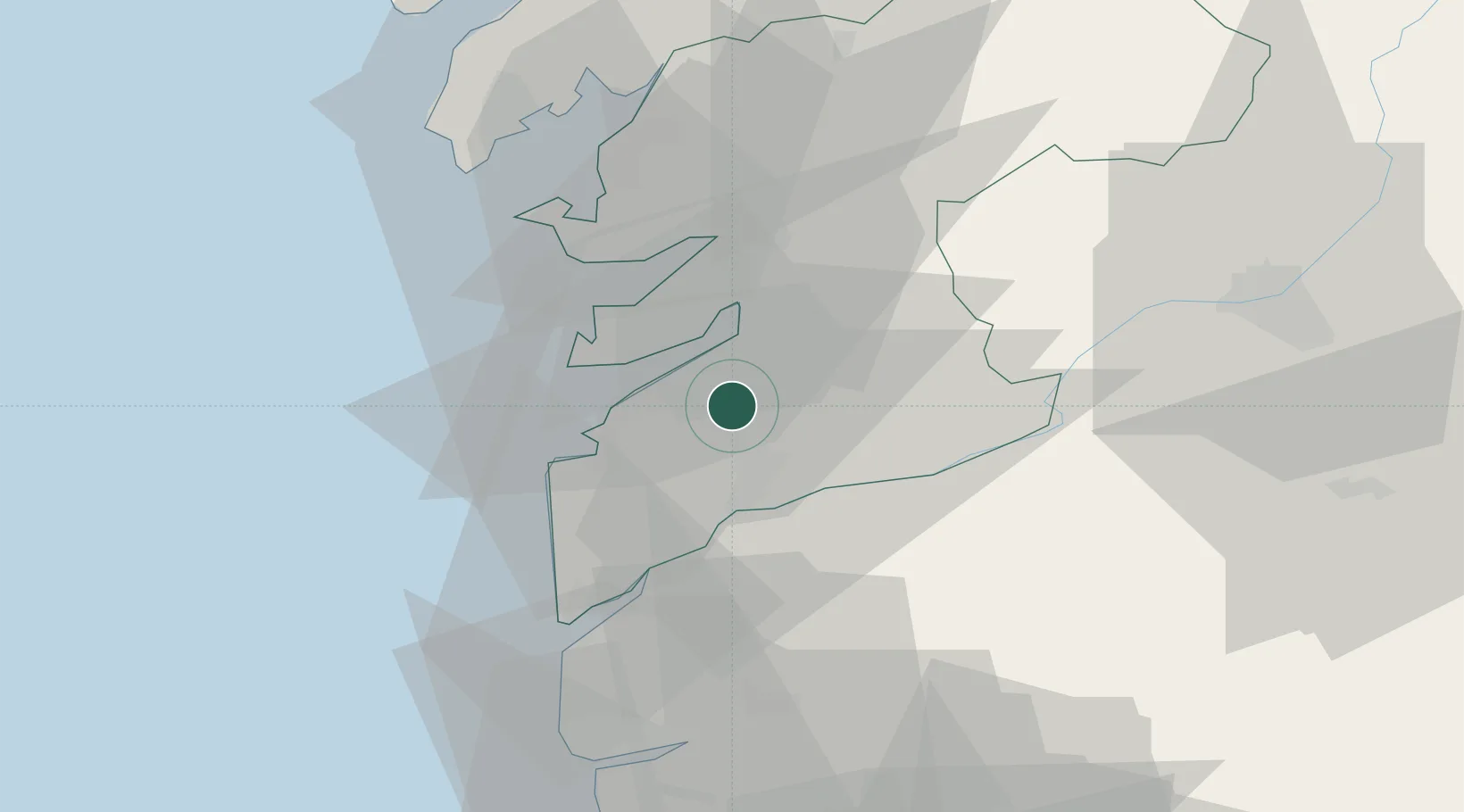
Location
Nearby Logistics Neighbours
Cities
- 1Sanguineda2 km
- 2Vigo6 km
- 3Chapela8 km
- 4Porriño9 km
- 5Redondela11 km
Ports
- 1Vigo8 km
- 2Marin23 km
- 3Villagarcia De Arosa46 km
- 4Viana Do Castelo58 km
- 5Porto De Leixoes113 km
Airports
- 1Vigo Airport4 km
- 2Braga Municipal Aerodrome70 km
- 3Santiago-Rosalía de Castro Airport80 km
- 4Vilar de Luz Airfield103 km
- 5Francisco de Sá Carneiro Airport106 km
Trade Zones
- 1Zona Franca de Vigo11 km
- 2Zona Livre Tecnológica Masotinhos114 km
- 3Depósito Franco de La Coruña130 km
- 4VGP Park Santa Maria da Feira141 km
- 5Depósito Franco de Gijón284 km
DatabookThe Record of Consolidated Knowledge
Spain beyond logistics?