Transport Functions
Port
Road
Hub Profile
Region
SS
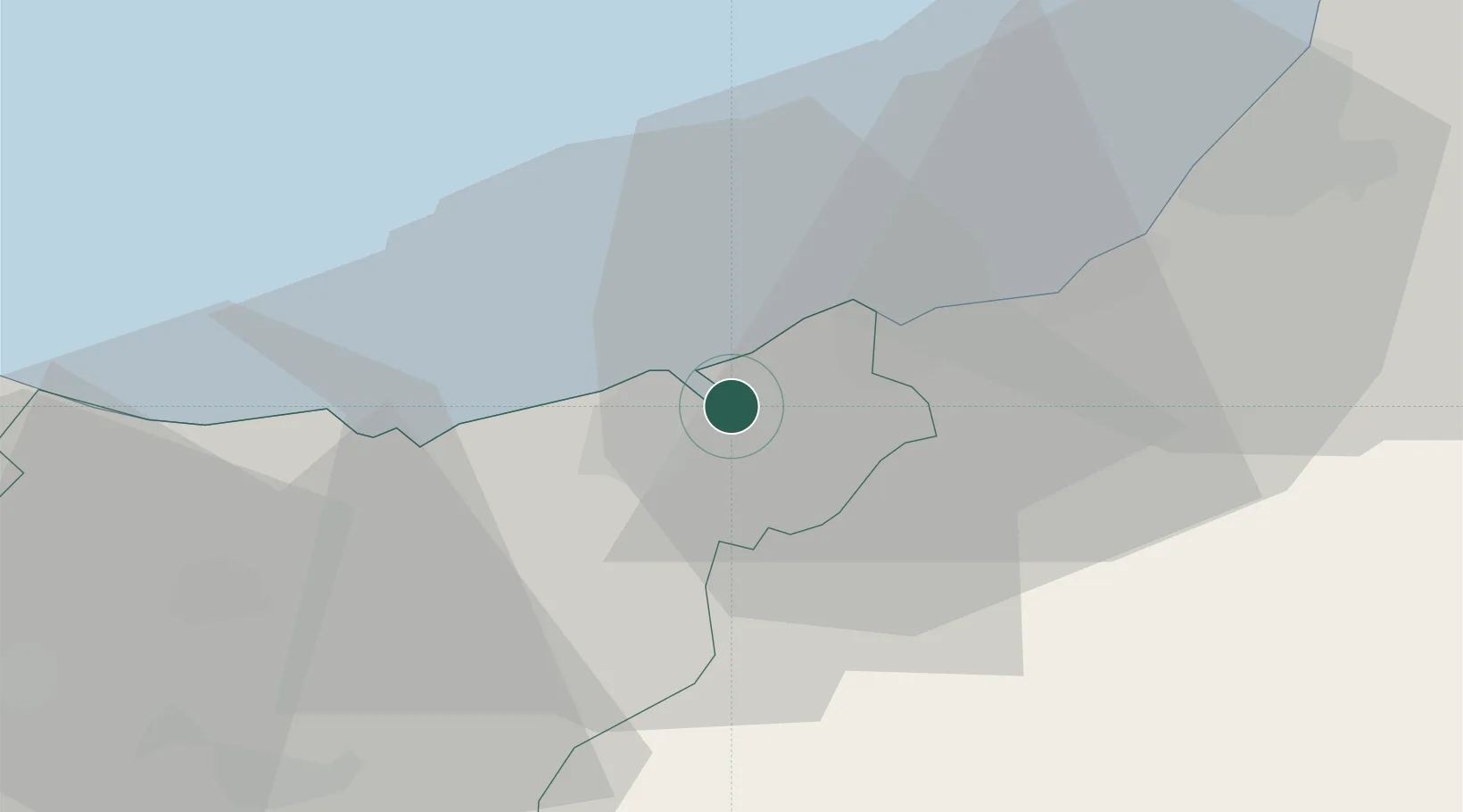
Location
Nearby Logistics Neighbours
Cities
- 1Pasai San Pedro3 km
- 2Oiartzun (Elizalde)4 km
- 3Astigarraga6 km
- 4Lizartza7 km
- 5Urnieta10 km
Ports
- 1Puerto De Pasajes3 km
- 2Bayonne41 km
- 3Bermeo67 km
- 4Puerto De Bilbao93 km
- 5Santander153 km
Airports
- 1San Sebastián Airport10 km
- 2Biarritz Pays Basque airport35 km
- 3Pamplona Airport64 km
- 4Bilbao Airport82 km
- 5Vitoria Airport83 km
Trade Zones
DatabookThe Record of Consolidated Knowledge
Spain beyond logistics?