UN/LOCODE hub · Spain
ESLIT

Lizartza

43.3167°, -1.9833°
2
Transport functions

Transport Functions

Port
Multimodal
UN/LOCODE

Hub Profile

Region
SS
GeoNames

Location

Location of ESLIT
Natural Earth 10m (public domain) · SS · ESLIT · 43.32, -1.98GoogleOSMYandex

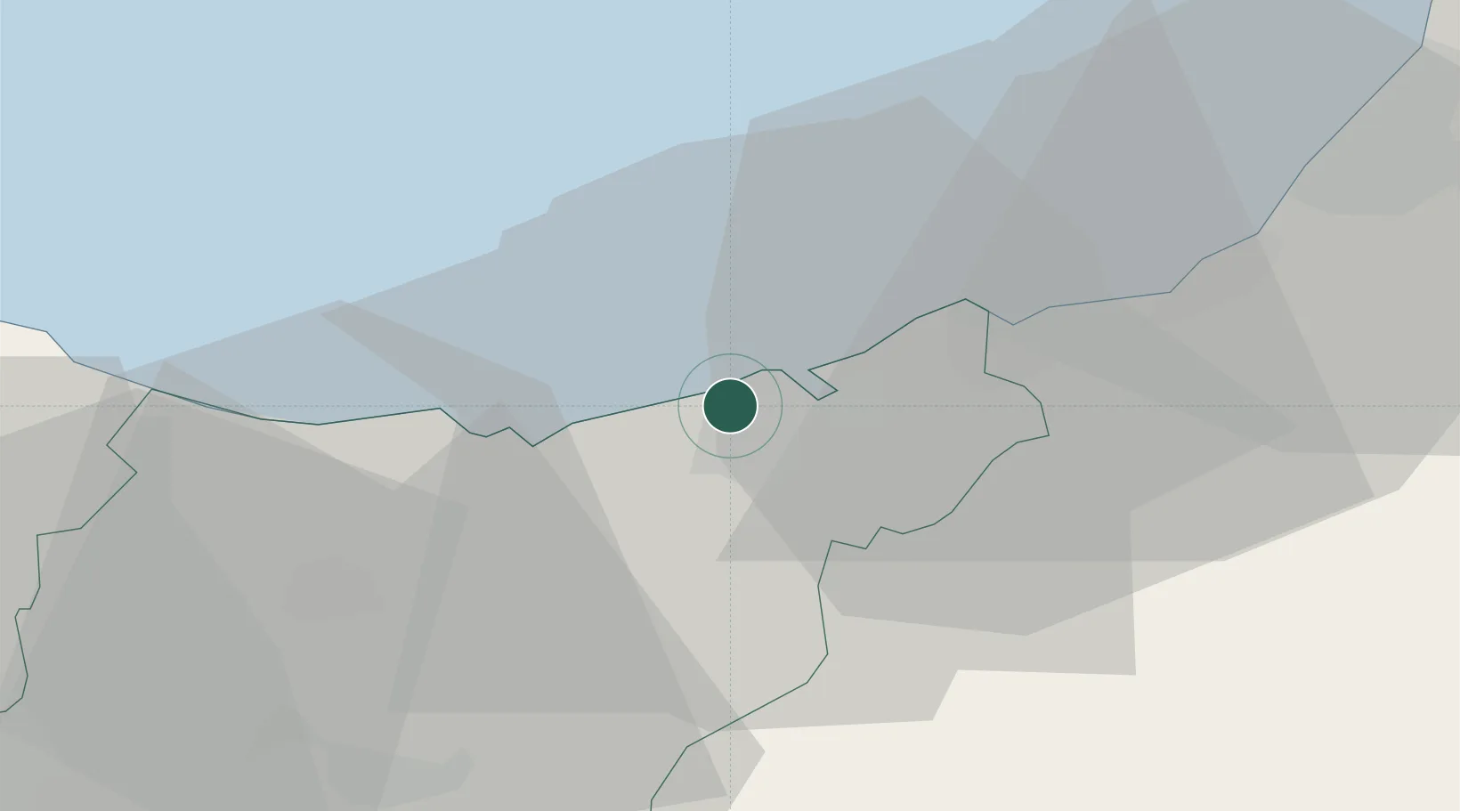
Nearby Logistics Neighbours

Cities
  1. 1Pasai San Pedro4 km
  2. 2Astigarraga5 km
  3. 3Rentería7 km
  4. 4Urnieta7 km
  5. 5Aduna8 km
Nearest neighbours — logibook spatial index (haversine) over the source coordinates
Ports
  1. 1Puerto De Pasajes4 km
  2. 2Bayonne46 km
  3. 3Bermeo60 km
  4. 4Puerto De Bilbao86 km
  5. 5Santander146 km
Nearest neighbours — logibook spatial index (haversine) over the source coordinates
Airports
  1. 1San Sebastián Airport16 km
  2. 2Biarritz Pays Basque airport41 km
  3. 3Pamplona Airport67 km
  4. 4Bilbao Airport75 km
  5. 5Vitoria Airport77 km
Nearest neighbours — logibook spatial index (haversine) over the source coordinates
Trade Zones
  1. 1Depósito Franco de Pasajes (Guipúzcoa)5 km
  2. 2Depósito Franco de Bilbao86 km
  3. 3Zona Franca de Santander149 km
  4. 4Depósito Franco de Villafría (Burgos)177 km
  5. 5ZFU Hauts de Garonne202 km
Nearest neighbours — logibook spatial index (haversine) over the source coordinates
DatabookThe Record of Consolidated Knowledge
Spain beyond logistics?
Browse databook

All Sources

LocationsUN/LOCODE
UN/LOCODE — free
Portsthe NGA World Port Index
Public domain (US gov)
AirportsOurAirports
Public domain
Trade Zonesthe World Bank SEZ database
CC BY 4.0
Trade ZonesOpen Zone Map
CC BY
← Spain locations